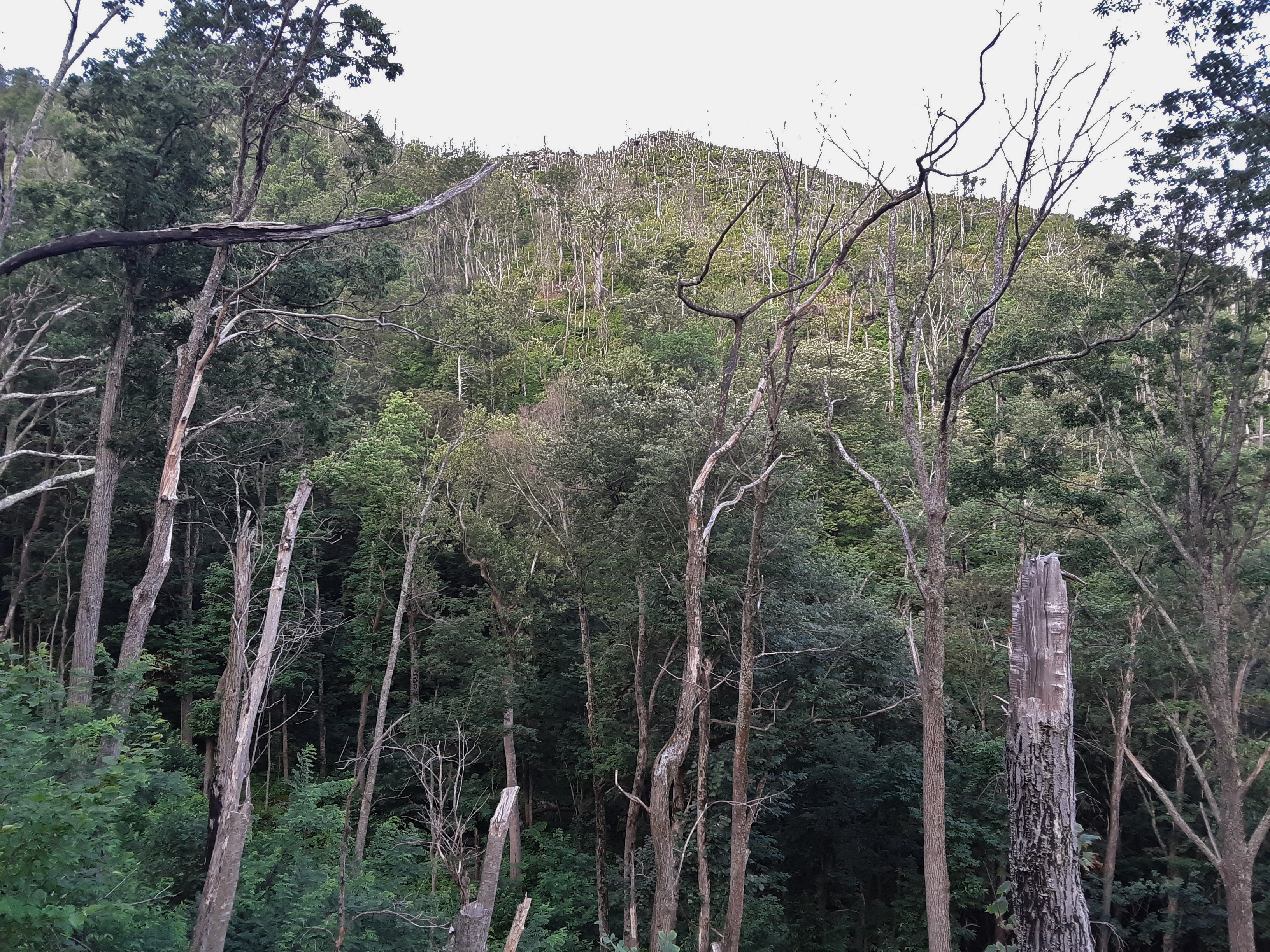
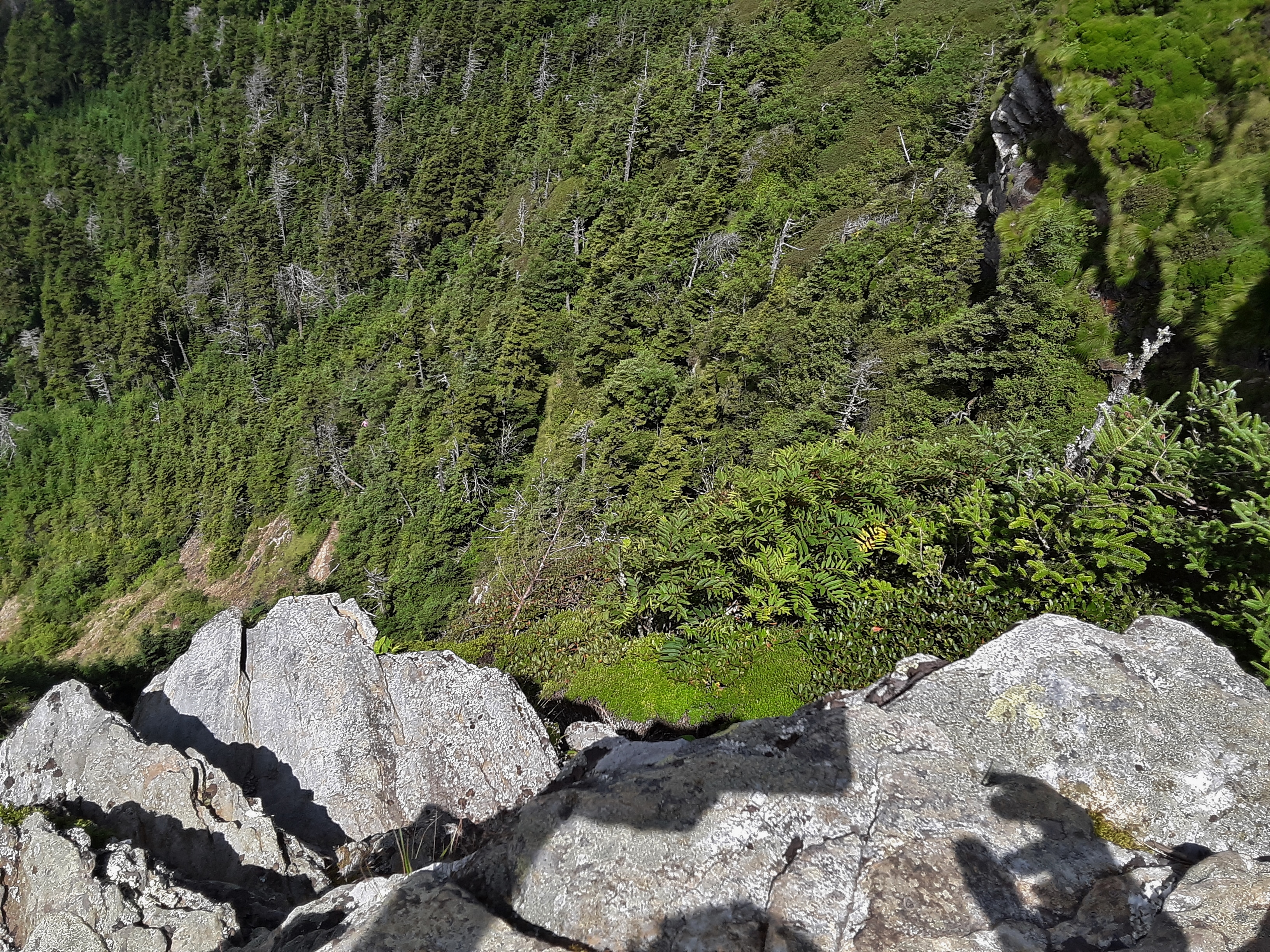
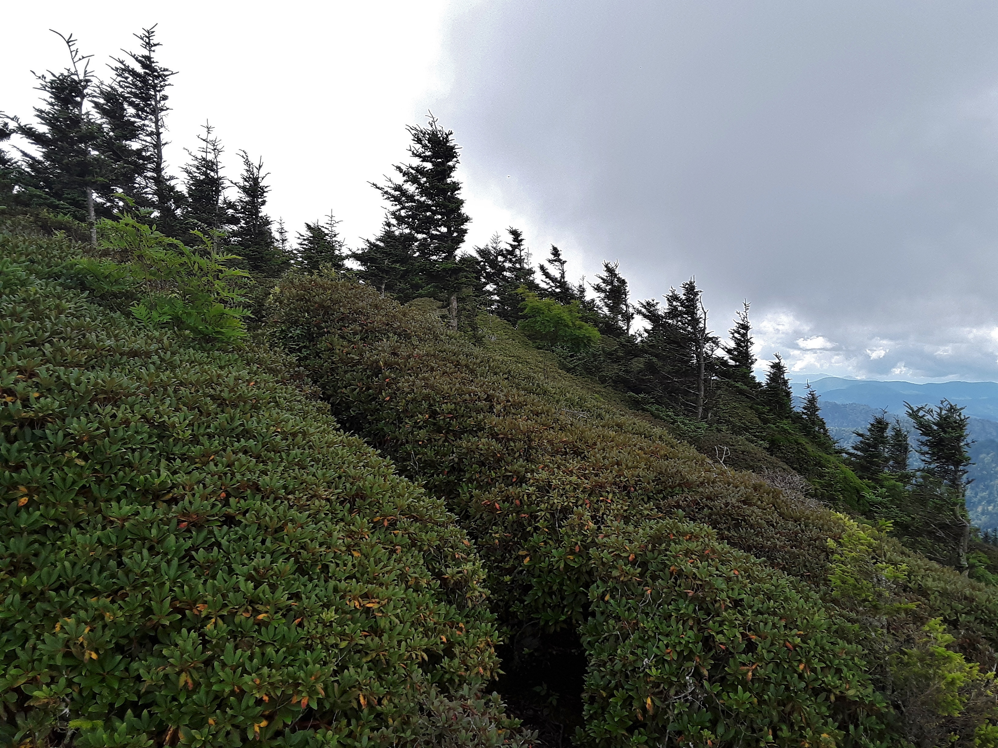
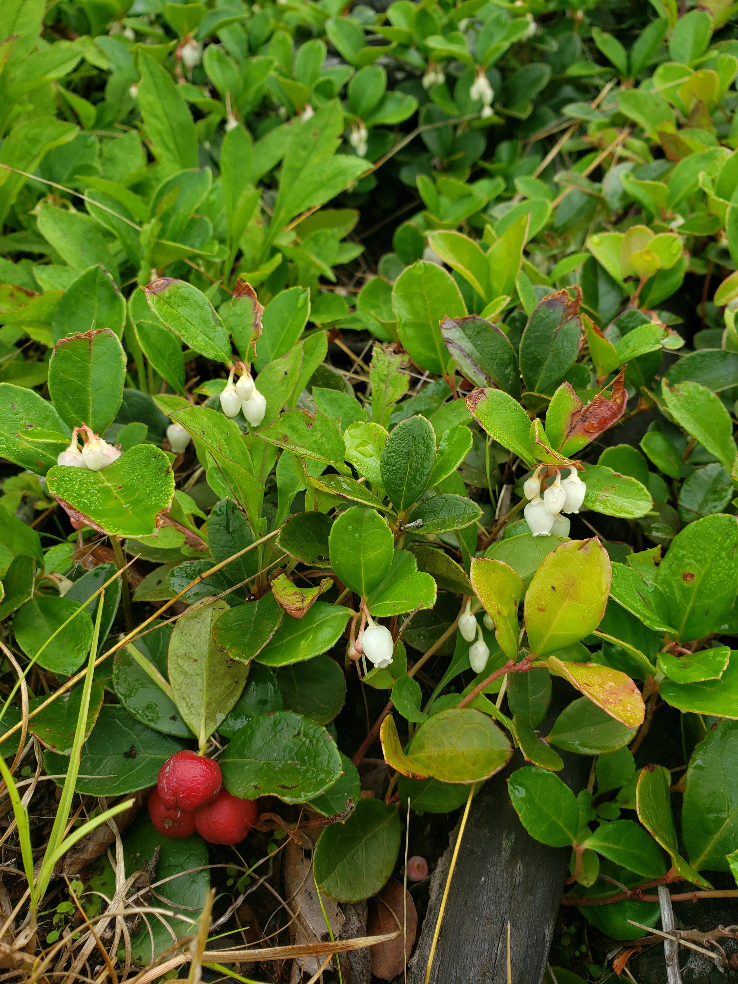
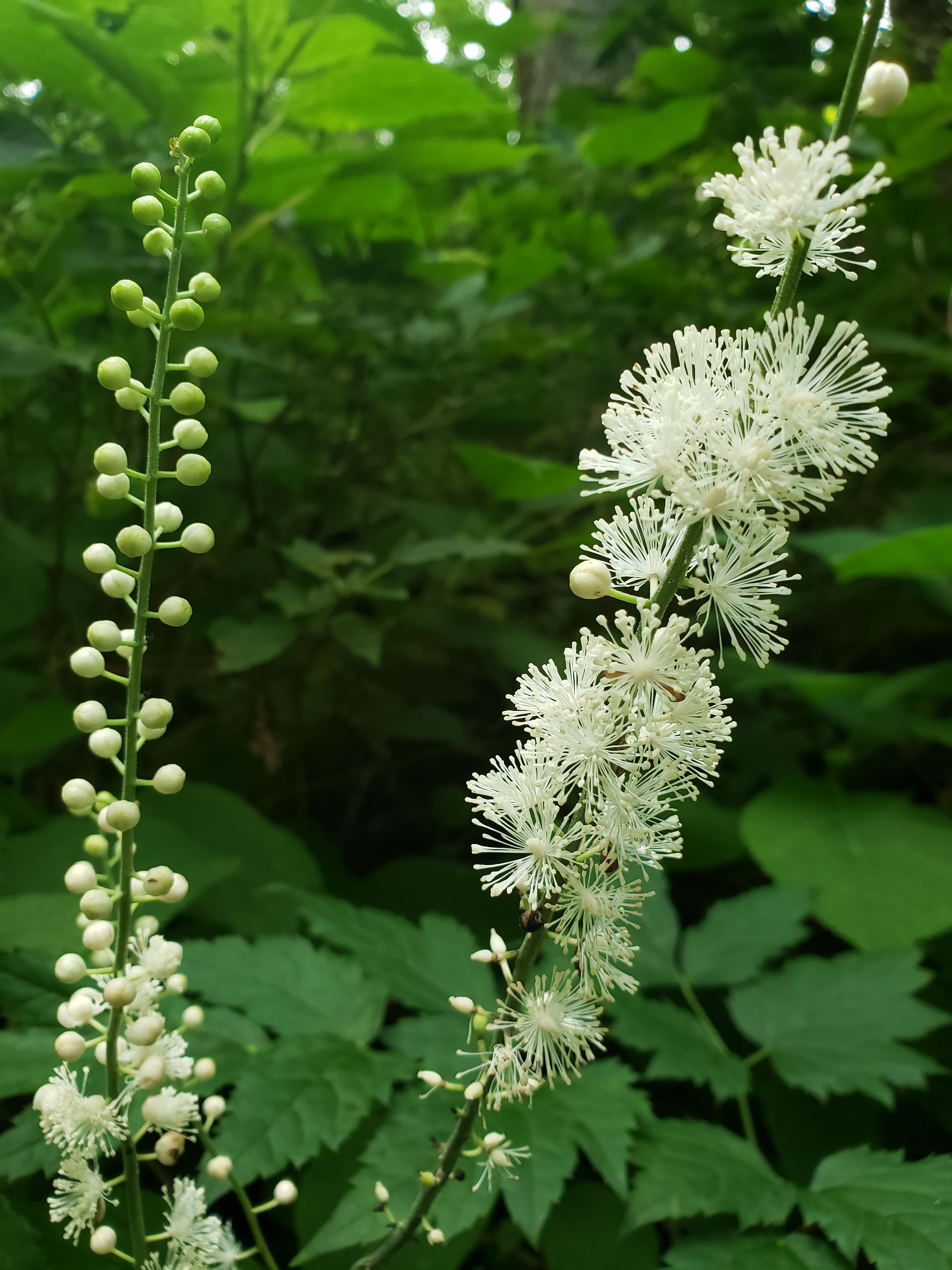
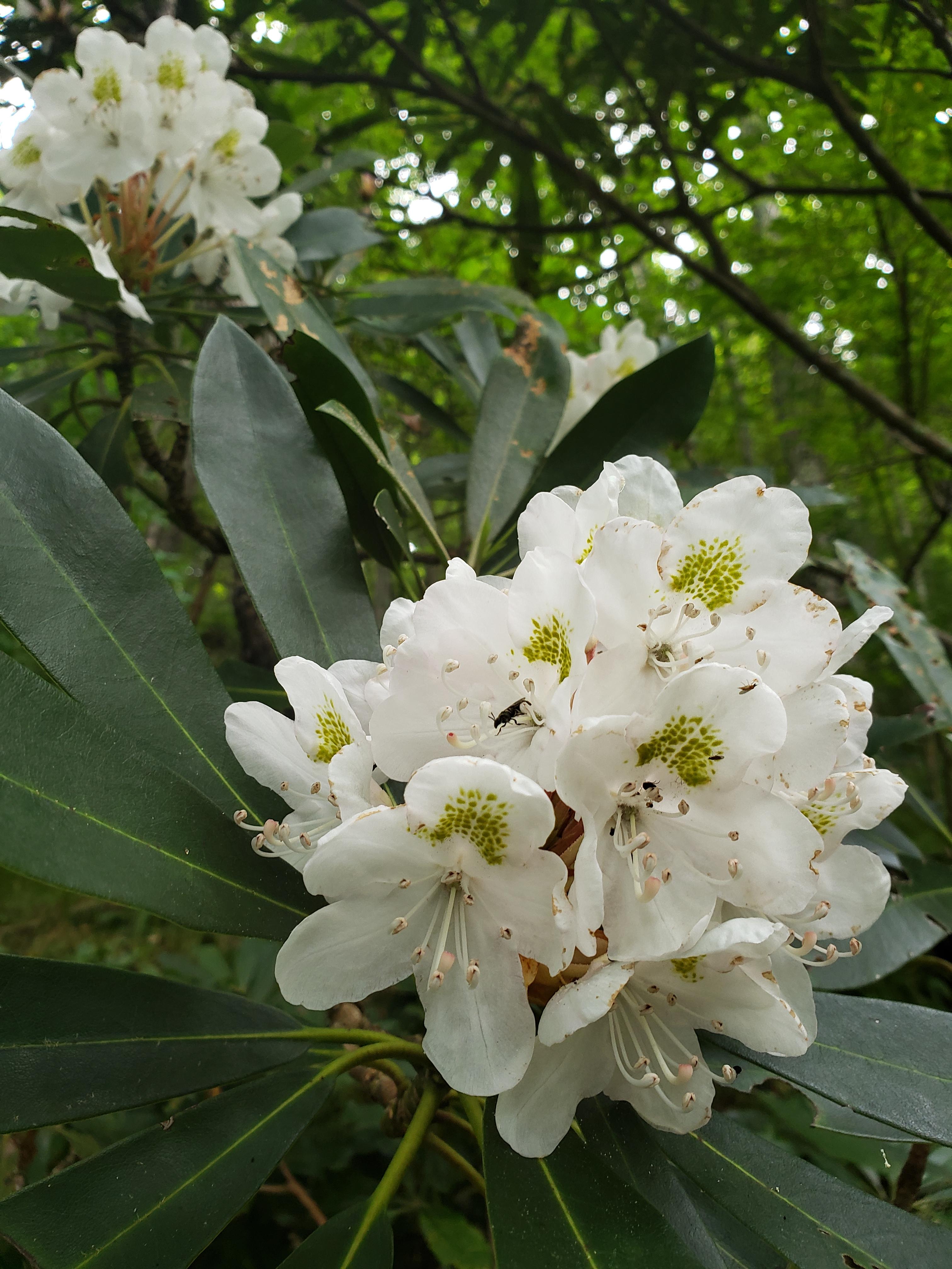
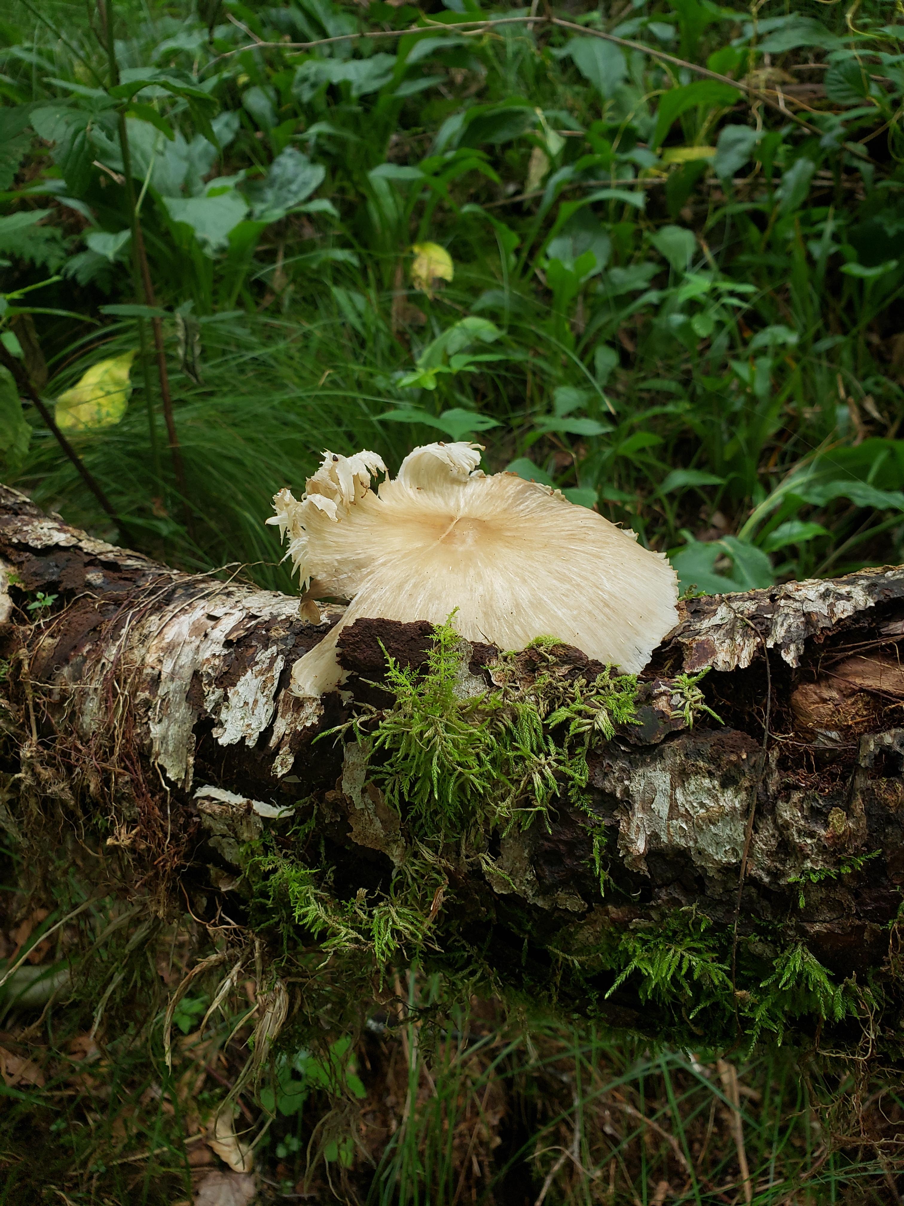
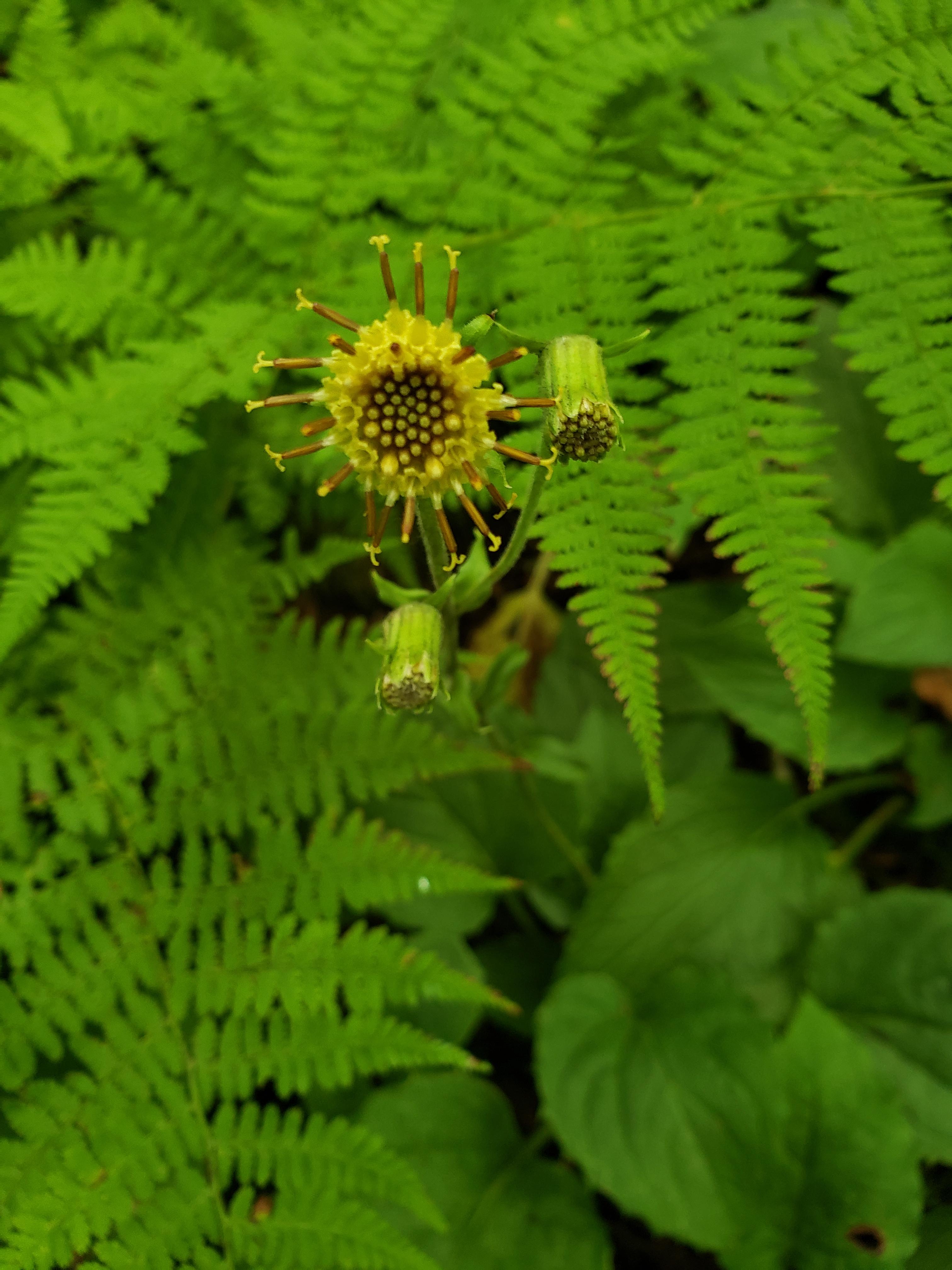
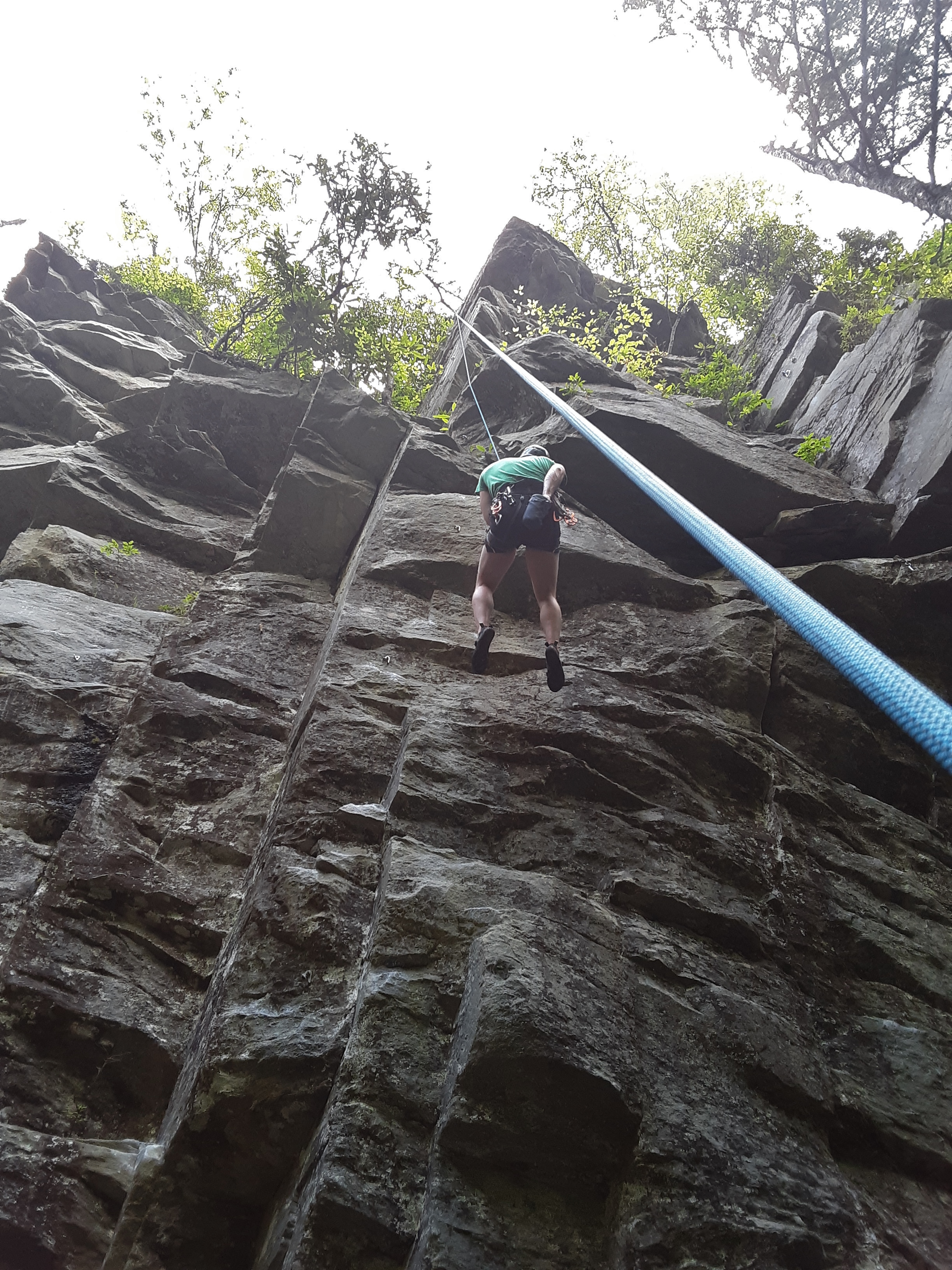
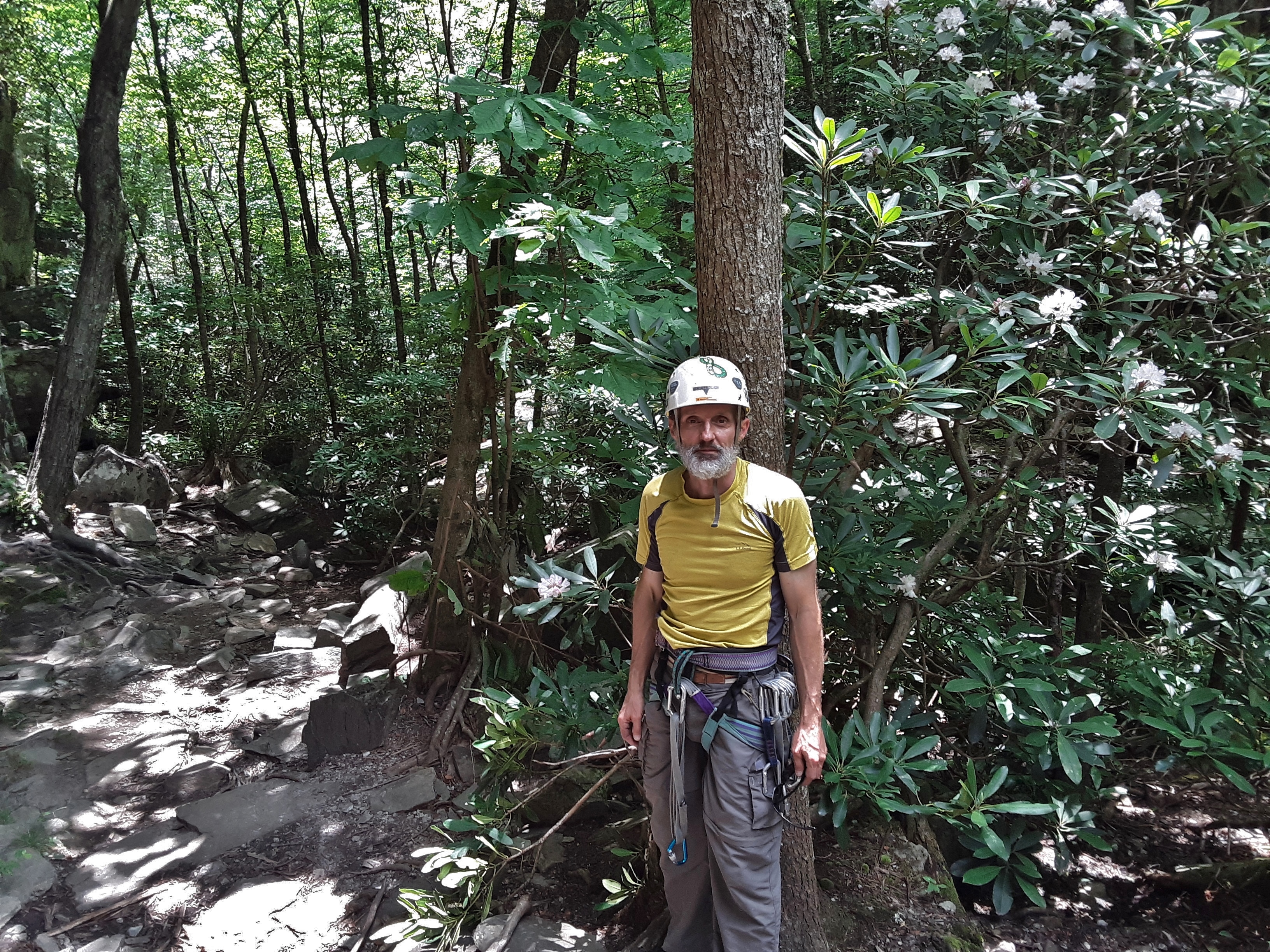
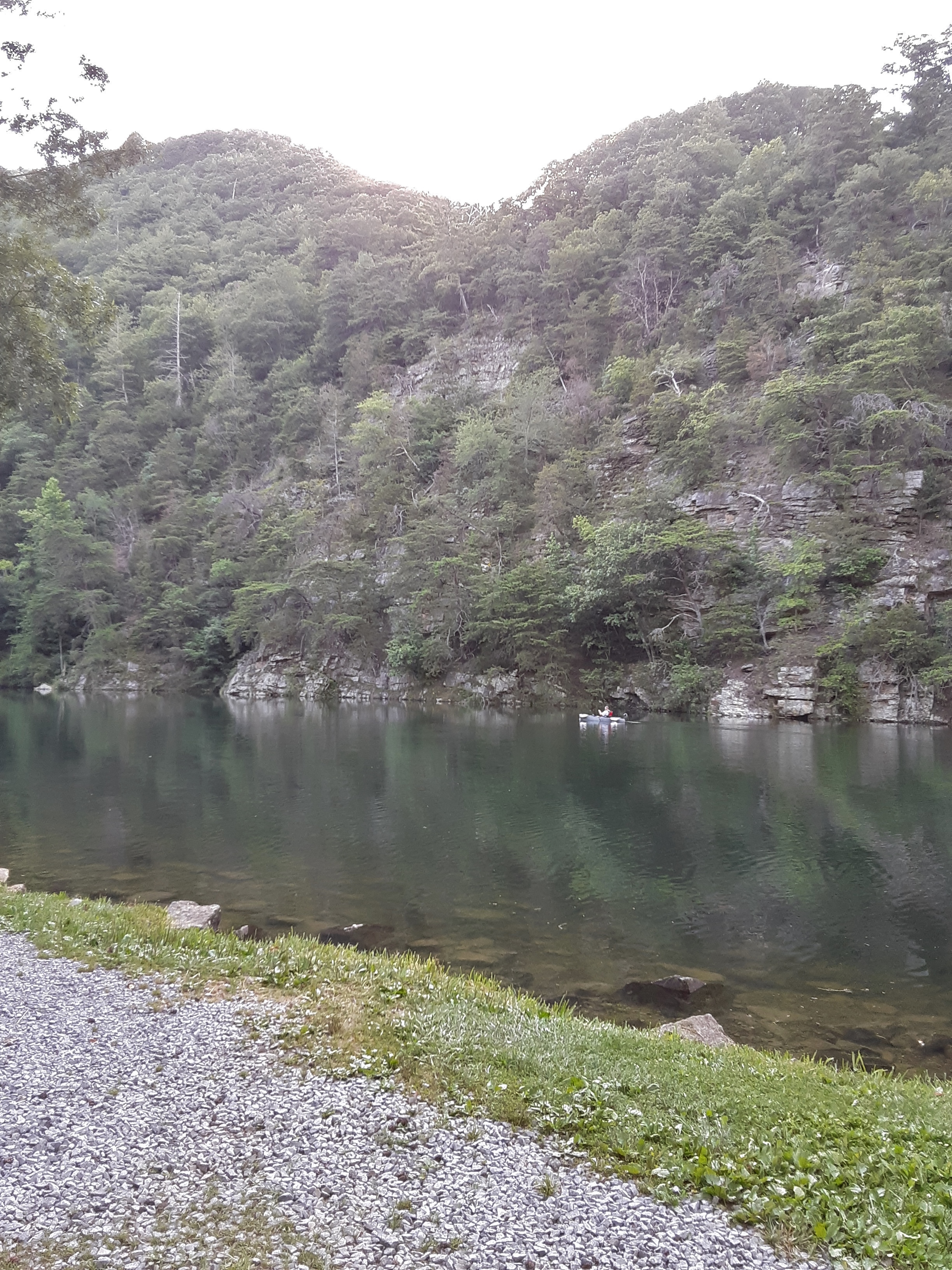
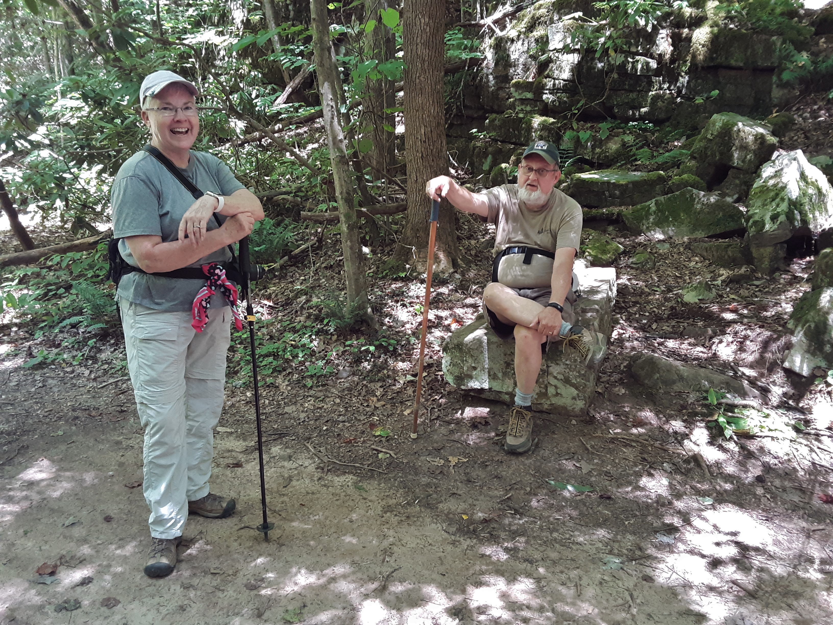
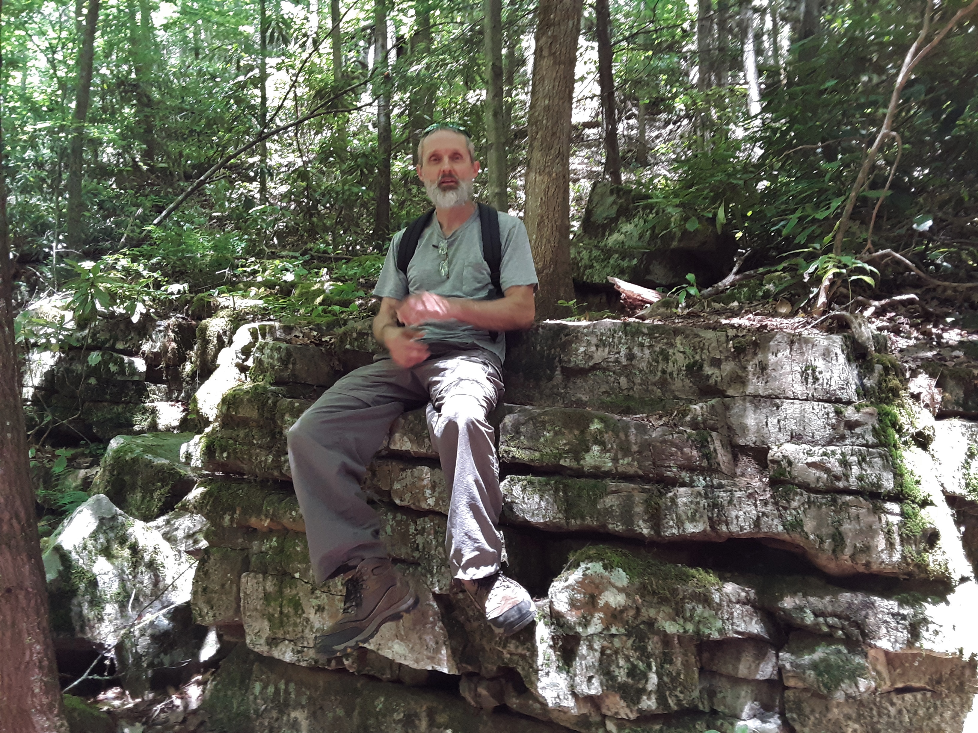
As was the case on my last trip out (“New Attempt“), the weather only marginally cooperated. It had rained vociferously the night before and a fog lay heavily over the forest silencing nearly all voices. Little Wilson Creek, however, sang out joyously, her pulchritudinous cascades heavily laden with the copious runoff of the recent deluge. I tried to get on the warm-up climb, Jigsaw, but the way to the first bolt was dripping and treacherous. After abandoning this initial attempt, it rained lightly. Thinking that climbing was not in our purview for this day, we nonetheless searched Mountain Project for the order and difficulty of climbs, as my memory was a bit remiss concerning details of climbs with which I had much earlier been familiar. We found a climb within my wheelhouse under a small roof that was only damp. I knew that I could not go to the rings at the top of the climb since the climb above the roof was actively being rained upon, albeit lightly. The roof was just sufficient for my group of eight and their equipment to avoid a slow soaking. I set off up the route adding several cams between bolts. Though the face was only damp, I quickly discovered that the crack needed to ascend was party to a small trickle that would not be slowed by any amount of chalk. After several skating hold failures, I gained the roof and set up a three cam anchor. Everyone attempted it more than once, several successfully. I cleaned it at the end, and after all the visual beta, I climbed it clean. All the while, the multitudinous attempts and further belay training, the weather and single climb to be done dampened no ones spirits or conversations, many stories and smiles being shared around. Our hope is to return for the next outing on a dryer day to attempt several of the other climbs. Check out our pictures of the trip at “Soggy Scaling.”
Posts Tagged ‘Hiking’
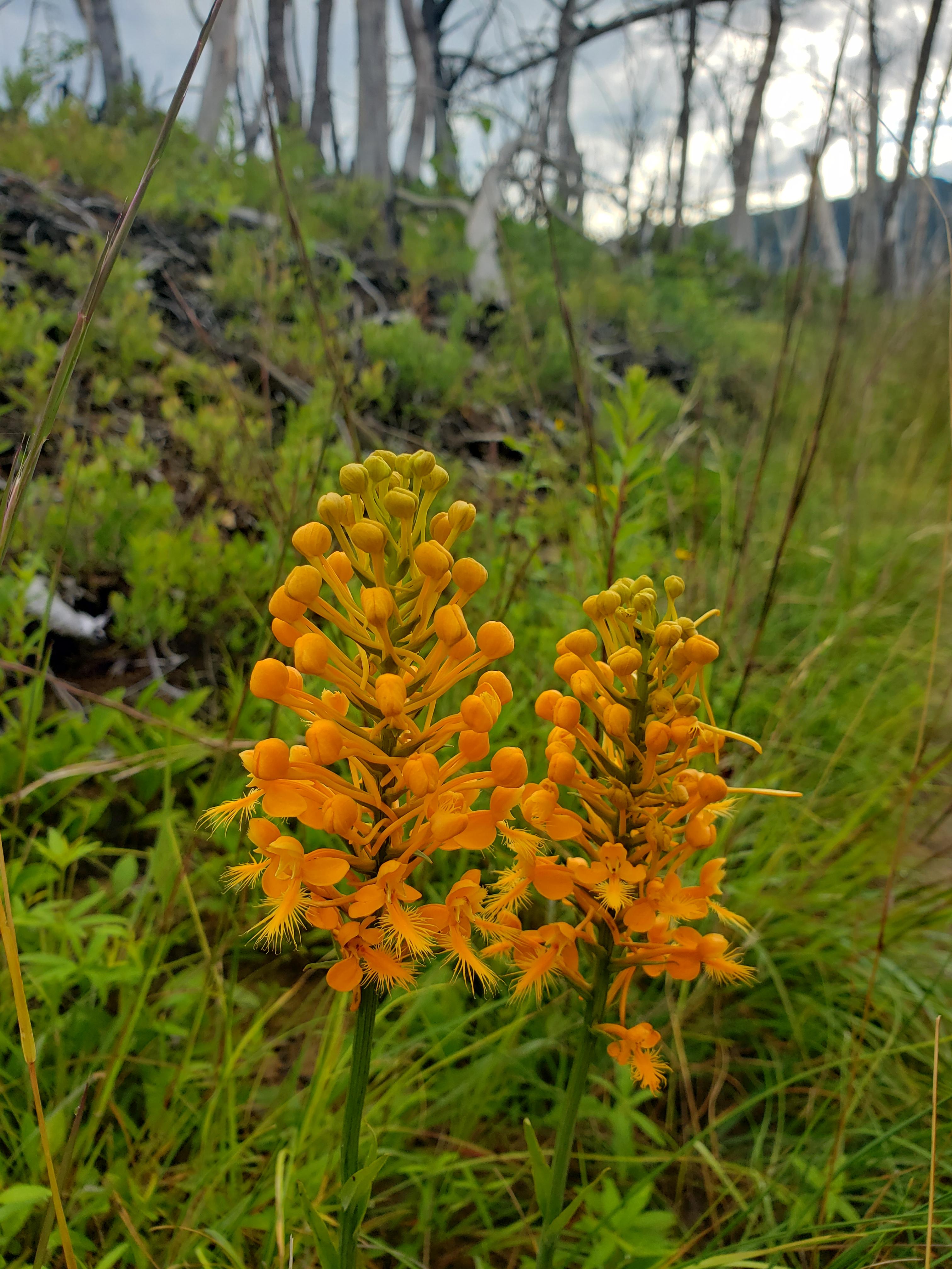
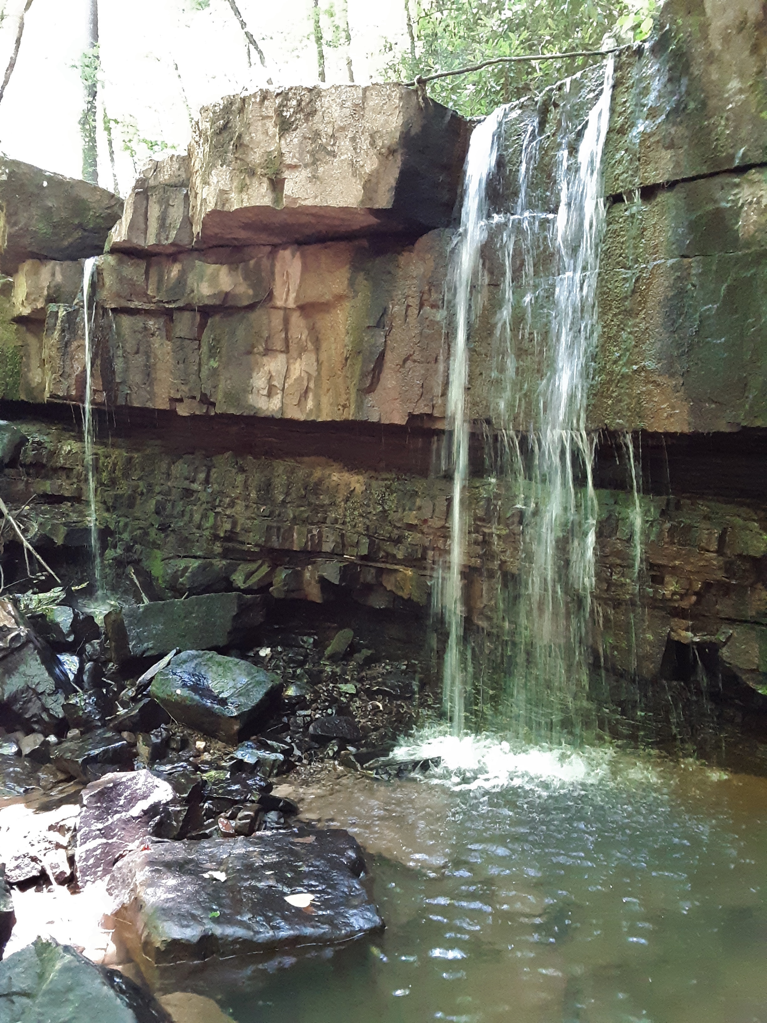
Soggy Bottom Creek
Posted in Climbing, General, Nature, Outdoors, tagged adventure, Climbing, Hike, Hiking, Nature, Outdoors, Rock Climbing, Travel on September 7, 2025| 1 Comment »
Challenging, Inspiring, Tiring
Posted in Camping, Exercise, General, Hike, Nature, Outdoors, Vacation, tagged Church Fellowship, Hiking, Nature, Outdoors on June 25, 2024| 2 Comments »
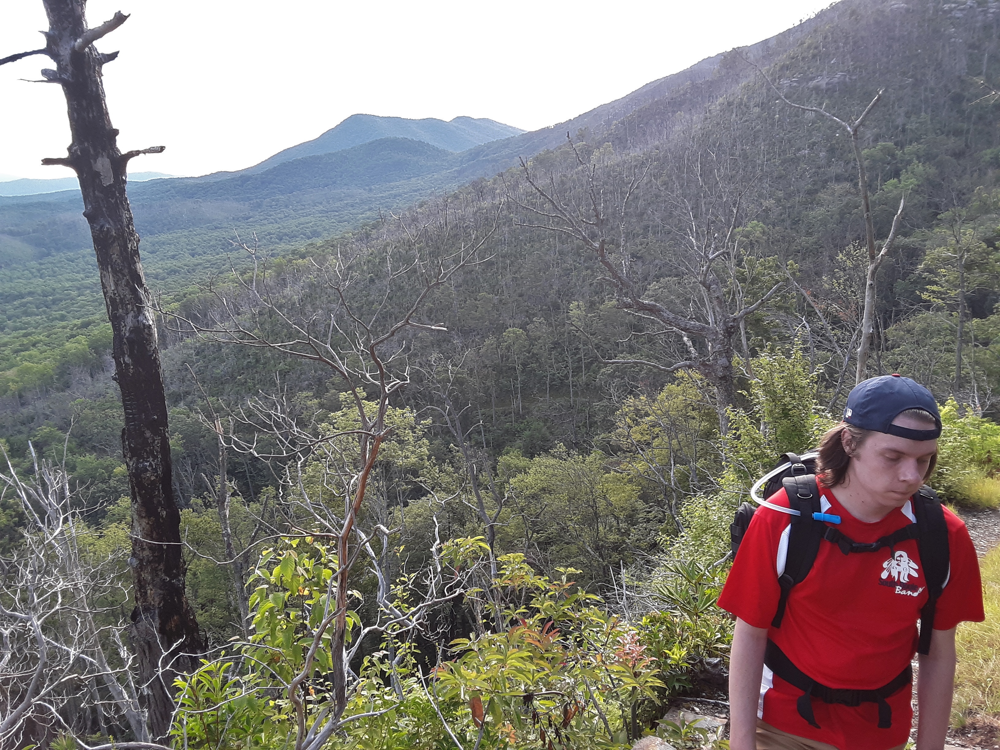
I just had the privilege of going on my first vacation in several years. Oh, I’ve taken a weekend here or there, but this trip was 10 solid days. The title represents how I have been describing it when someone asks how my vacation went. Each of those words has a double meaning to me.
Challenging can be good or bad, and it was both. I enjoy being challenged by a strenuous physical activity. I climbed two significant mountains and did other hiking. Conversely, I drove many miles and endured black flies in Maine.
The beauty of God’s creation always inspires me in two ways. We are drawn to beauty, variety, order, bigness, in a word, grandeur. The reason we are drawn to beauty is because it points us to God’s beauty, power, knowledge, creativity, and supply for us. That in turns causes me to want to worship and serve Him more and better.
Most people I talk to want a vacation to be relaxing. I smile to myself and think of the Norman Rockwell painting of the family in the car on the way to and from vacation (1). I choose to embrace the tired and take on some bucket list challenge. Afterall, you come home in order to get rest from vacation, right? My definition of vacation is an enjoyable change of pace that puts you mind at ease. That may be relaxing or strenuous, depending on your personality and physical, mental, and spiritual state. On the vacation that I am beginning here to detail, it was tiring for two reasons. I hiked 38 miles in 8 days. For an AT through hiker that is two to three days, though I say even most of them have trouble with 21 of those miles that I did. Secondly, I drove 2650 miles to get to these hikes and visit several friends and family members along the way. Being somewhat of a stats guy, that means that I drove 70 miles for every one mile that I hiked. That probably means that some of you are questioning my sanity (yes, including you, BST!), but when you have certain limits, challenges are increased. There was also a heat wave in the NE that pushed me to beat the heat with early rising, 4, 4:30, and 5 AM.
With that thorough introduction, let me begin the story of my 2024 trip to New England by you clicking on “Lackawana to Smuggler’s Notch“.
Why Hiking?
Posted in Connotations, Delights, Exercise, Experience, Exploring, Hike, Nature, Outdoors, tagged Creation, Hike, Hiking, Mountains, Nature, Outdoors on August 27, 2023| Leave a Comment »
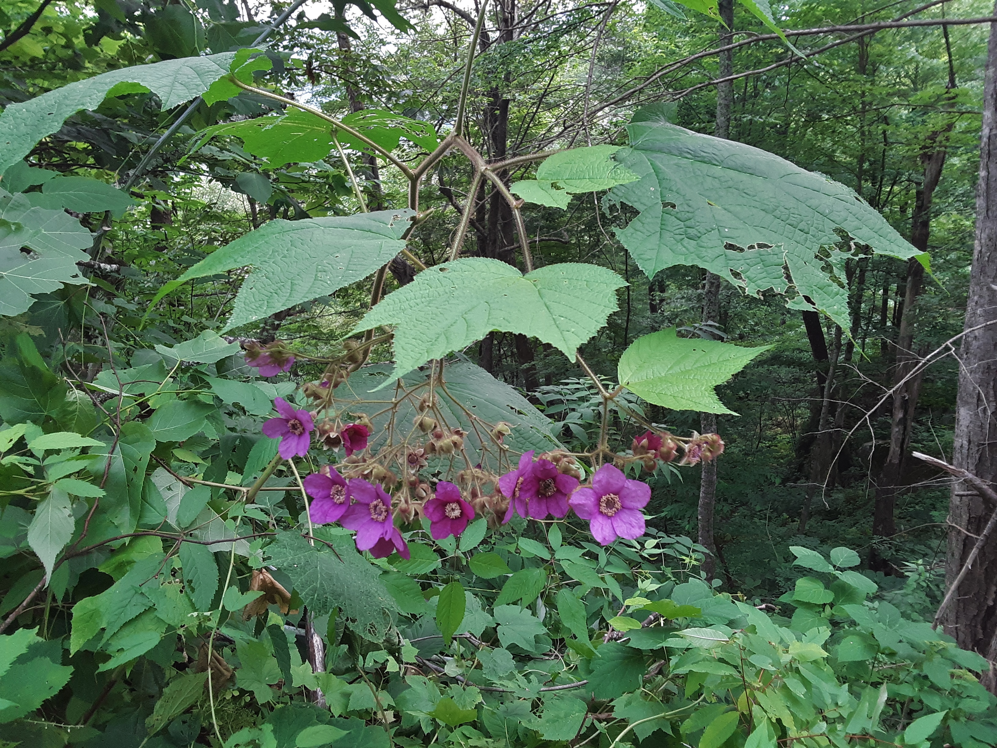
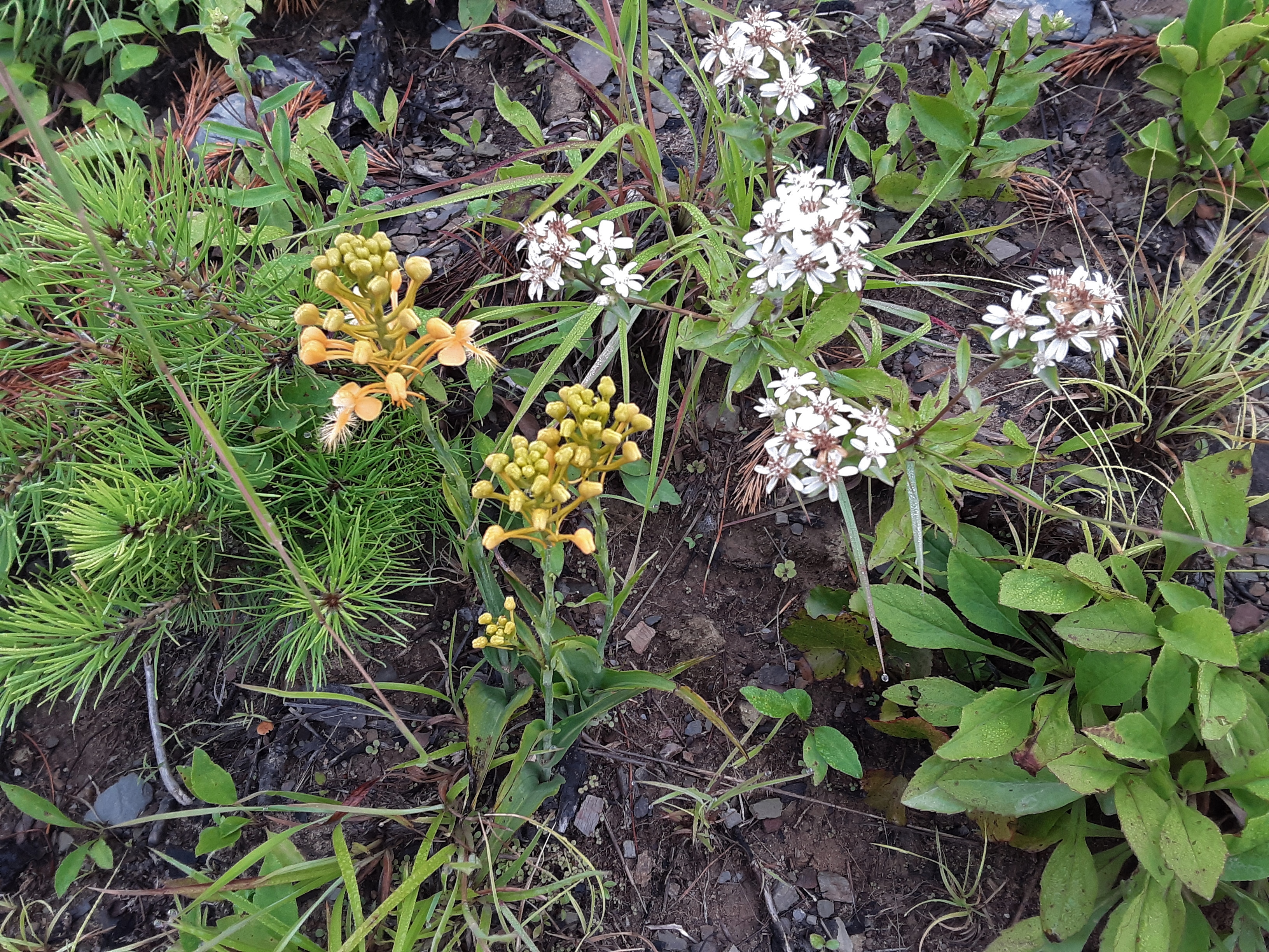
I was talking with a man who I had just met at church today. While sharing various things about each other, we agreed that we like mountains. I mentioned that I like hiking in the mountains. He responded, “Why do you like hiking?”
I paused, not because I had to think why, but because as I momentarily replied, “How don’t I like it?” I could go on and on. The list that I gave him was brief but suggested the deep variety of my reasons for liking to be in the woods. It was fun to make and a to z list of why I like to hike:
-availability: usually at no cost other than the gas to get there and ready whenever I
have the opportunity to avail myself
-challenge: pushing myself, exercise, distance, steepness, bushwhacking,
negotiating difficult terrain
-colors: leaves of early Spring, deep greens of Summer; Fall’s polychrome; the
bronze buds and hues of grays and browns of winter bark; the many faces of
sky and water per season, weather, and time of day
-conversation: with God and with a hiking partner
-exploration: finding new, rarely visited, unique, beautiful spots
-flora: trees in every season and species and shape and maturity; shrubs
from Flaming Azalea to Doghobble to Rhododendron to Sweetbush;
herbaceous varieties in bloom and sprouting and full foliage; fungi, lichen,
mosses, and liverworts
-geology: types; landforms in rock and soil, especially cliffs; random rocks- shiny,
unique, unexpected
-glory: Due and seen for the infinite, beauty-loving, intelligent, personal Creator
-growing: alive, flourishing, productive, resilient, reproducing
-health: to body, mind, and spirit or trying hard and resting in emotion
-invigorating: Am I beginning to be synonymously redundant?
-memories: of more than 50 years of consistently being on the trail
-promoting: curiosity, knowledge, scientific and Creationist thinking
-sharing: seeing one or two others’, only rarely with groups, pleasure at things I
show them
-solitude: alone (I do like to hike alone sometimes.), quiet, space for thinking, lack
of people, distance and exclusion from development
-topography: Folded mountains particularly, I guess since that is what I grew up seeing.
-trails: smooth, rough, steep, flat, lightly traveled, leading somewhere or to the
known goal
-variety: Just look at this list!
-water: streams flowing and falling and frozen, ponds, sloughs and bogs, rain,
clouds, humidity and fog, snow and sleet and ice
-weather: anticipation, arrival, artistry, animating
-zoological: mammals from bears to bats to mountain boomers, deer
birds- song, raptors, water, gliders, woodpeckers owls; reptiles- lizards,
snakes (I don’t seek out the poisonous ones but they do bring and adrenaline
rush.); spiders and other arachnids, insects (not mosquitoes or gnats),
millipedes and centipedes; fish in the streams; crustaceans- snail and crayfish (We call them
crawdads.); amphibians- frogs, toads, salamanders
I wonder what I left off. I am so blessed and thankful to God for the opportunity and love of the mountains. They so speak of His loveliness and power and creativity and sustaining hand.
Is this crazy?
Posted in Climbing, Climbing Access, Experience, General, Hike, Nature, Outdoors, Photo, Project, Struggling, Wildlife, tagged Challenge, Climbing, Hiking, Nature, Outdoors, Rock Climbing, Wildlife on August 8, 2021| Leave a Comment »
Some of you will probably say so, but we are proceeding with adequate care, and more so as we learn the plausible situations.
Last weekend my youngest son, climbing partner, and I started at the Sitting Bear parking area, hiked to Hawksbill, climbed the two easier pitches of Lost in Space and Star Trekin, hiked to Devil’s Cellar at Table Rock, climbed again on Helmet Buttress, and walked down to the Table Rock parking area. See the pictures at HB and TR.
That was the overview. We are continuing our training for the Linville Crusher. We are most slowed down by transitions: butterfly wrapping rope, organizing protection gear, changing shoes, putting harness on and off. These preparation outings are good to see where the slowdowns are. At Hawksbill we talked to a man who had done the Crusher. I asked him how long it took them. He was reluctant to say but I insisted since I wanted to have an idea what I am getting into. He admitted that it took them over 16 hours. I was shocked. The descriptions on Mountain Project say you should aim for 10 hours and expect 12. Something isn’t adding up here. So, hiking will take the longest time and be the second least efficient part I figure, while transitions have the potential to zap our time. My partner says we have to hope for the best and plan for the worst. If it gets light at 6 AM in late August and dark at 8 PM, that means we will need to start hiking to Sitting Bear before light to prevent climbing in the dark at Shortoff. It would be way cooler if we were driving home at supper time, but “plan for the worst.”
August would not be my chosen time to do this adventure given the heat, but we are balancing two limitations: 1) climbing closures for Falcon nesting until August 15, and 2) length of daylight hours. We even have to wait to do several preparation climbs until after August 15.
The hike from Sitting Bear to Hawksbill is the second shortest and definitely the easiest. We may even jog part of that. The Hawksbill climb is the hardest technically, but we both did it clean, and that was my first try on it. The hike from Hawksbill to Table Rock is not the longest, but it is definitely hardest. Getting around Hawksbill, we missed a turn because the trail is vague at places. Hopefully, we know the route now. There is a steep uphill section going up to the base of cliffs at Table Rock. I will be glad for a rest at the belay station. We will be doing the easiest climb of the trip at TR, North Ridge.
This day we decided to do something else rather than North Ridge. My wife had mentioned that FB friends were reporting encounters with bees in the mountains. I alerted my son who is allergic but I forgot to stock my first-aid kit with Benadryl. I was so thankful that my son went up through Devil’s Cellar to hang out on top while we climbed. Soon after passing North Ridge, on a steep downhill, I walked over a Yellowjacket’s nest. At first I thought it was the buzzing of flies and was about to tell my partner that there must be something dead about because of the flies. Before the words left my mouth, I received the first of five stings. I yelled and started running. My partner ran back to see what my cry of pain meant and received a sting. He turned and ran, too, but was there just long enough to break my fall on the steep terrain. I made a mad rush downhill, swatting and grabbing for tree trunks. We recovered at the base of our chosen climb. After starting it we backed off and decided on an easier climb for carrying packs, Helmet Buttress, which with My Route above, is 5 pitches. We reduced it to 3. Still my son waited two and a half hours for us rather than an hour or less. Oops on several levels. Thankfully we can do North Ridge in one pitch with a 70 m rope.
All of this causes me to reflect on the planning and moxie needed to pull off a major expedition. We are just planning a day trip. I am thankful to God for the safety and health we have experienced during this preparation time. Even the bee sting swelling diminished when I sweated and climbed some more. It seems like a worthy challenge and adventure for this old guy, but I want to continue to increase the safety factor. Also, I decided that if I want to see a bear, I should hike with my son. We saw two this day when I hadn’t seen one on the trail in over a year. Several weeks ago he was in the Gorge with a friend and saw a Bobcat and a mother bear with two cubs in a standoff- a once in a lifetime view, I’d guess.
Taking Mt. LeConte by the Horns
Posted in Ecology, General, Hike, Nature, Outdoors, Photo, tagged Hike, Hiking, Mt. LeConte, Nature, Outdoors, Photos, Secondary Succession, Wildflowers on July 29, 2020| Leave a Comment »
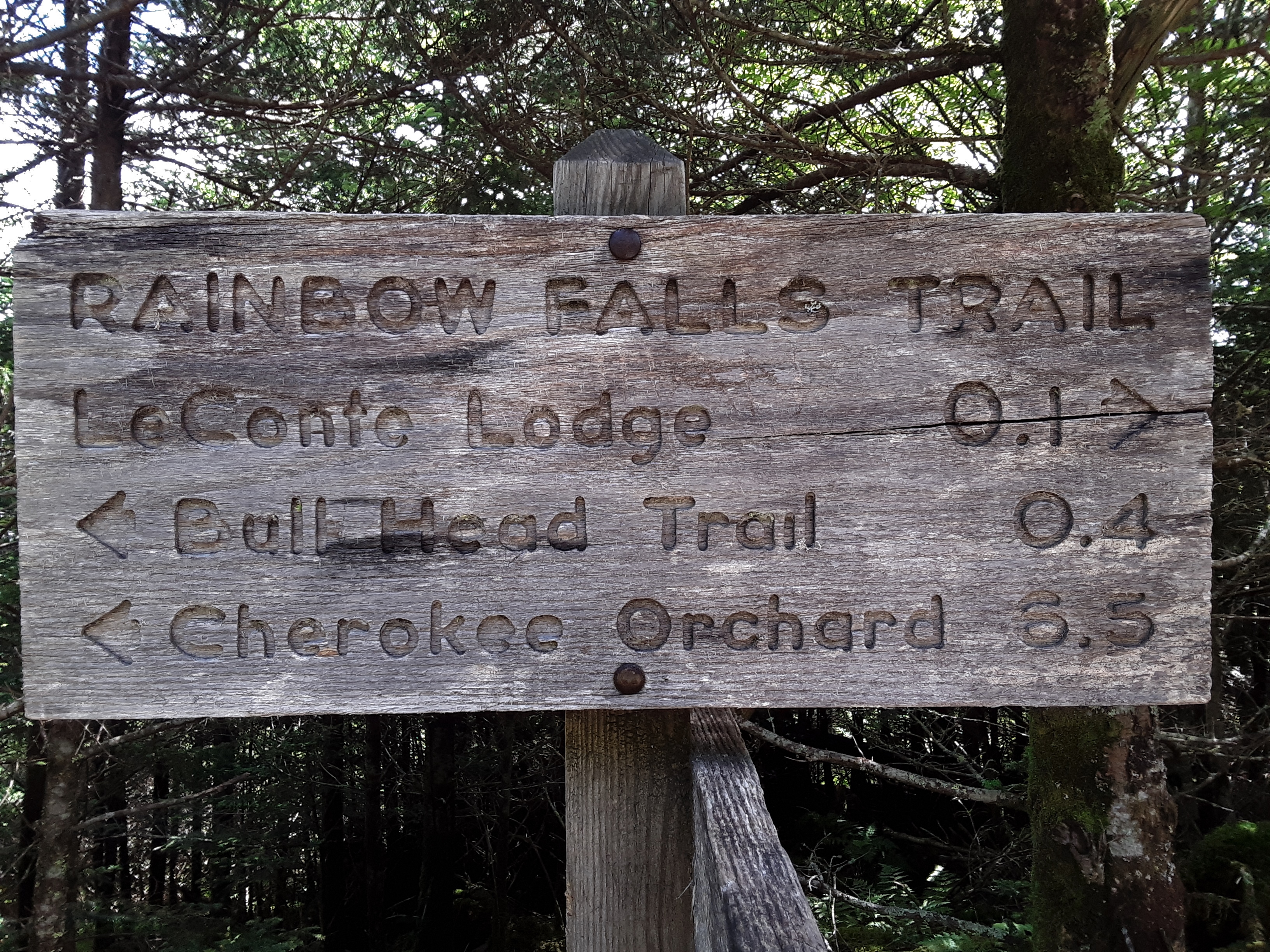
For various reasons the hike schedule I had intended to keep with my great-nephew has been delayed. But this Monday we got out on our 3rd day hike, this time to Mount LeConte in the Great Smoky Mountains National Park. Many years ago I had attempted a winter assault via the Bulls Head Trail with a college friend, only to be shut down by icy trail across slides. The thought of slipping down the thousand foot plus slope of cleared forest covered in ice on rock, runs shivers up my spine even now. We crossed one slide ever so tenuously only to be confronted by a second one a short distance later. We turned back, knowing we still had to recross the first one to be delivered to safety. For all of those many years I had wanted to complete this trail. Now my young relative was getting to go up Mt. LeConte for his first time while I completed the only way I hadn’t been to the top. The trail starts in Cherokee Orchard above Gatlinburg. Both of us having stayed at my oldest brother’s house in Knoxville and getting up early, we were on the trail at 7:15. There were actually two cars in the parking lot and one man and son starting up the Grotto Falls Trail as we left. From there you take a 0.4 mile jog on the Old Sugarlands Trail to Bulls Head Trail. It is obvious from the pictures that this has been a high precipitation season.

Short way over to the turn up the mountain
Log bridges are a staple in the park. The one pictured is longer than usual and the nearness to the road means that gravel is put down to reduce rutting and erosion.

first bridge
I remember well the pictures of Gatlinburg burning in the fires of 2016. I also knew that the national park had sustained damage. Of the 16,000 acres that burned, 10,000 were in the park. We were about to see the remnants of those fires.
Contrast
There were great swathes of mountain slope that no tree was left alive by the fire along side other areas where no damage seemed to exist. Very few areas had brush fires that didn’t get up in the treetops. There was a goodly amount of natural charcoal. Secondary Succession is in full swing these four years after the fires. Root sprouts of trees, seedlings of Table Mountain Pine whose cones need fire to open, and abundant annuals covered the ground.

Death and renewal
All of this clearing results in non-stop views around every corner. You can see in the next picture the large cylindrical hotel that is built just outside of the park at the entrance to Cherokee Orchard. Two ridges beyond that hotel you can see the strip that is Pigeon Forge. This line of sight convinces me that the far ridges on the horizon are toward a stretch of mountains on the far side of the Tennessee Valley from LaFollete northward to at least Cumberland Gap.

Gatlinburg, Pigeon Forge, and beyond
Wooly Tops Mountain?
The exclusively mineral soil speaks strongly of the degree of erosion that took place on these slopes that receive over 100 inches of rain a year. It saddened me to consider what had been lost. As I discussed this with my sister-in-law in the evening, she reminded me that when my father was young, the area had been logged extensively*, rendering it much the same as these smaller areas now. Some 80 to 100 years later it was the lush forest I so loved. It can repair again.

bare, mineral soil

Secondary Succession well under way

continuous views
some type of wild grapes


Lampshade Spiders


glimpse of the top
gap between Bulls Head and Balsam Point


Oswego Tea
I asked myself why some places were completely burned and others seemingly untouched. When we entered the woods from a burned over area, there were almost always coneflower and Oswego Tea which grow in wet seeps. Even in significant drought like was occurring when the wildfires hit, these areas have abundant water under the surface. The fire was doused by the seeps, preventing wholesale destruction.

Where there were seeps, no fire
There is a constant battle for resources in the forest. When life is good- abundant sunlight, rainfall, nutrients, temperate climate- the battle is intense. Parasites are opportunistic. When life is good or when it is stressed, parasites find resources that are being squandered or difficult to use, and they rob them from other organisms. A common example of plant parasite in the mountains is Dodder.
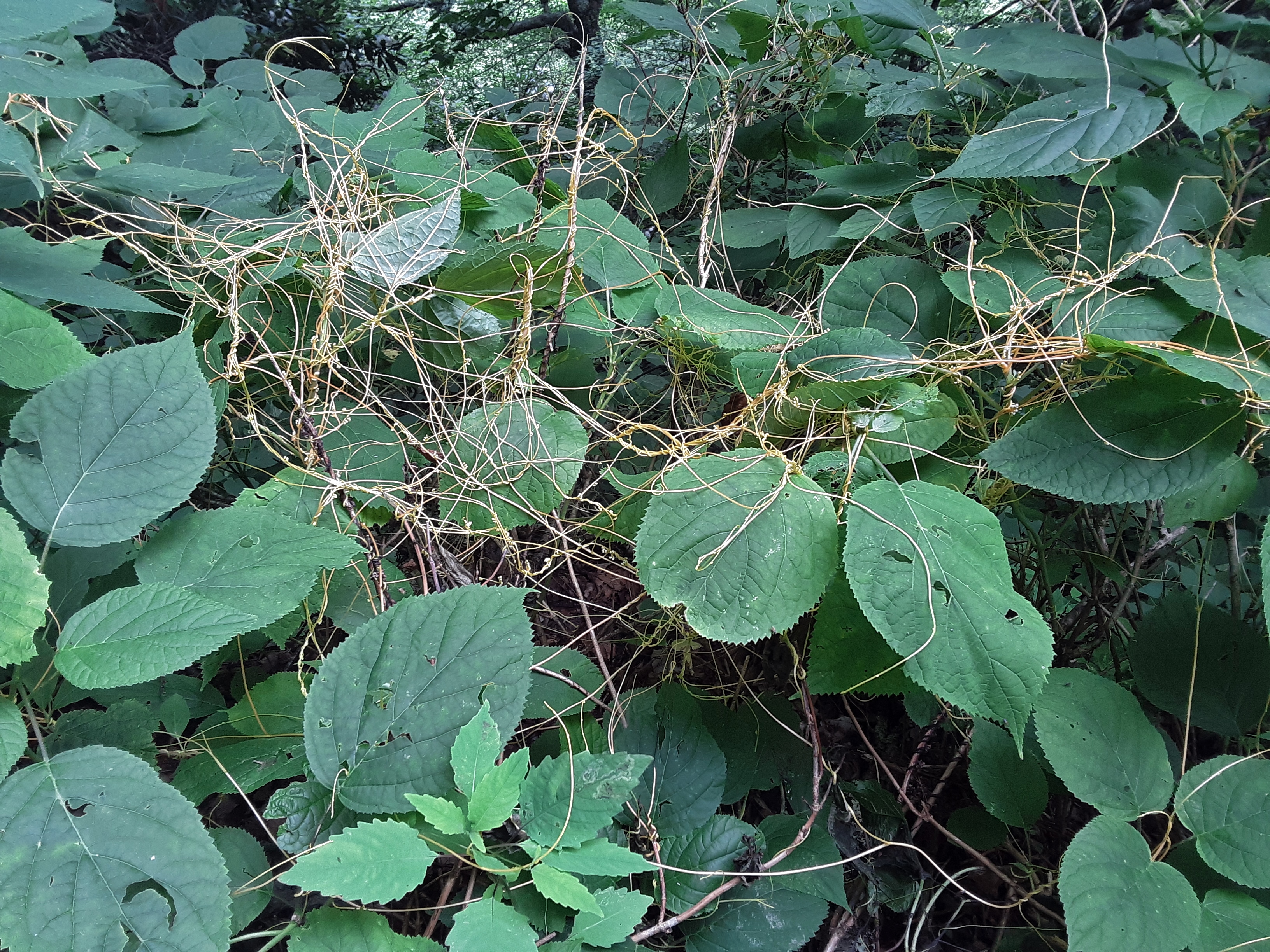
Dodder (Cuscate sp.) on Stinging Nettles
Lichen comes in deliciously diverse forms. The texture and variety in this next picture could keep my eyes busy for hours.

Love the texture
If you can’t find anything else interesting to look at, check out the mushrooms. They come in so many shades and sizes.


Caught in the forest on the run

Classic Toadstool look

Ancient looking Yellow Birch all fern and moss decorated

Spruce, fern, and moss! We must be above 5000 feet.

The lush, highland forest
The fir trees persist
Balsam Firs! Now we are above 6000 feet. A bit of the Canadian Boreal Forest in the Southern Appalachians (There are no long a’s in that word.) Clifftop is not quite the highest point on Mt. LeConte, but it is the most visited for the views of steep, cloud cloaked ridges beyond.

near the edge

Over the Alum Cave Bluff Trail ridge
over the edge

My phone camera is not the latest generation and digital zoom is pitiful, but sometimes you have to emphasize what you are taking a picture of.

Newfound Gap
windblown Heather and Spruce

Clingsman’s Dome almost revealed

LeConte Lodge


Mountain Boomer


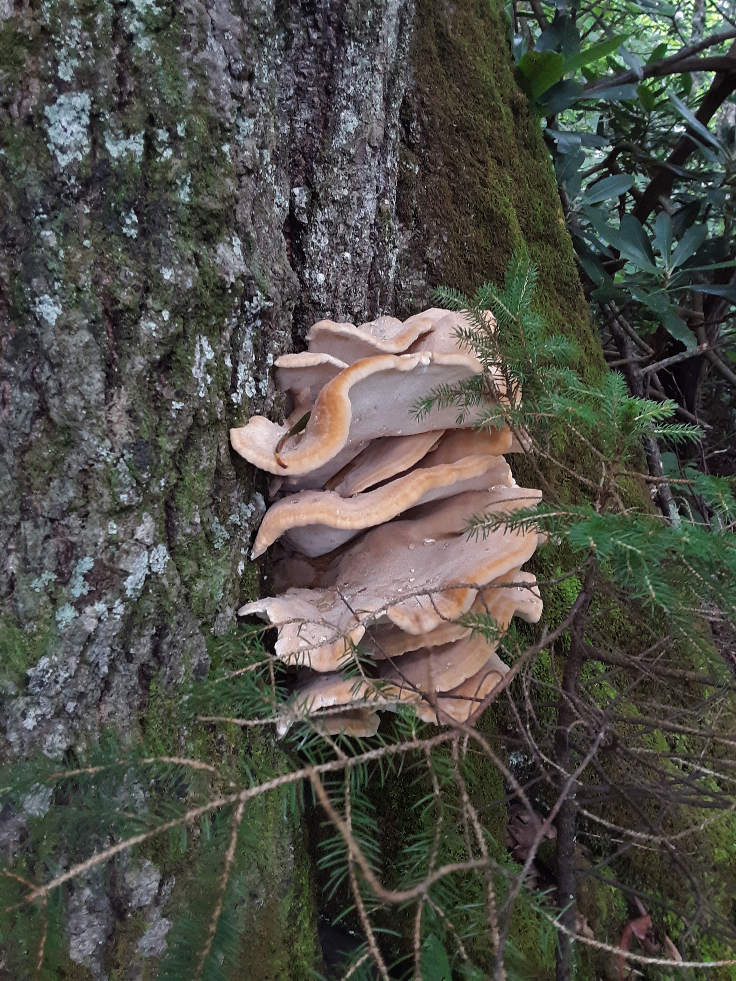
Shelf Fungus

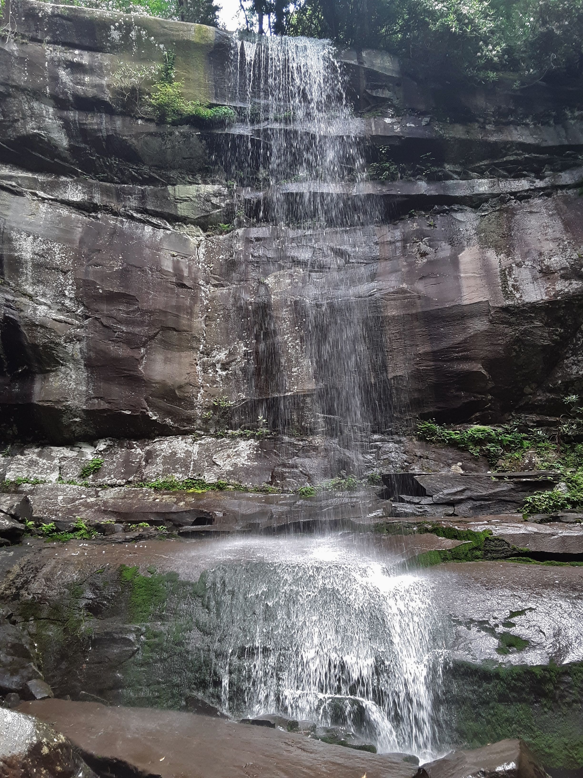
Rainbow Falls

There are few healthy Hemlocks after the wooly adelgid, but the park service treats some of the tree to preserve them.

A healthy Hemlock
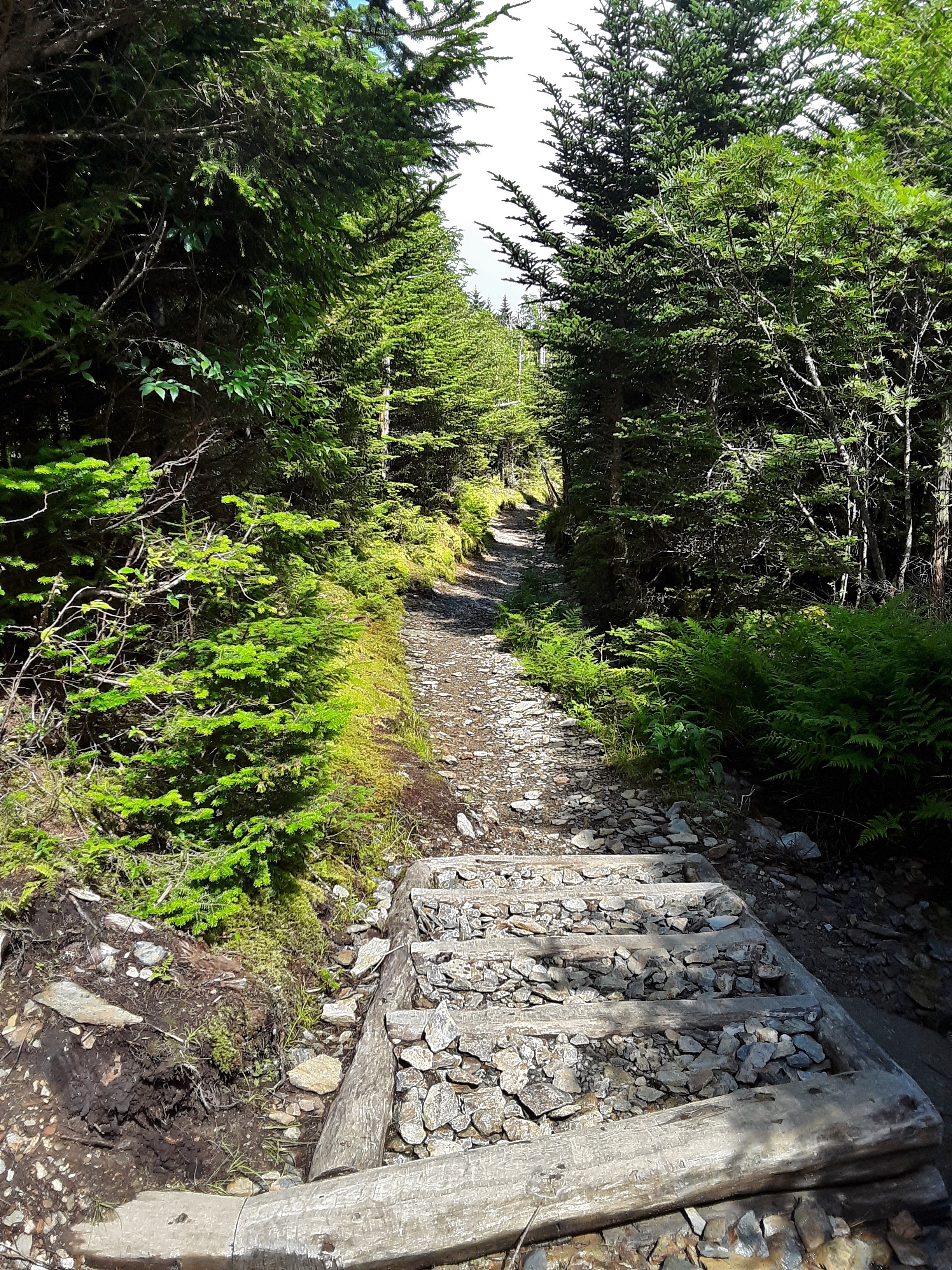
The lower part of the Rainbow Falls Trail may be one of the most heavily traveled stretches of trail in the park due to the large waterfall and distance from Gatlinburg. To prevent the erosion from destroying this segment of the forest the park service has put in segments of permanent rock steps. I’m thinking these had to be placed by small skid-stears (like a Bobcat, etc.). I don’t know if even four stout men could lift many of these stones.

The hike was 14 miles on a high overcast day with thunder on either side of us as we neared the end. It was a good outing, a goal accomplished, an enjoyment of God’s green earth that can so well repair itself and be beautiful in the process and at the conclusion.
I end this entry with a little camera envy. I have an older version cellphone. My great-nephew has one with a far superior camera. I guess when my first blog entry goes viral and get requests to have sponsors, I’ll get some good camera equipment. Anyway here are the pictures I asked him to take mostly of smaller things I knew my camera wasn’t up to:

Caught in the Crossing

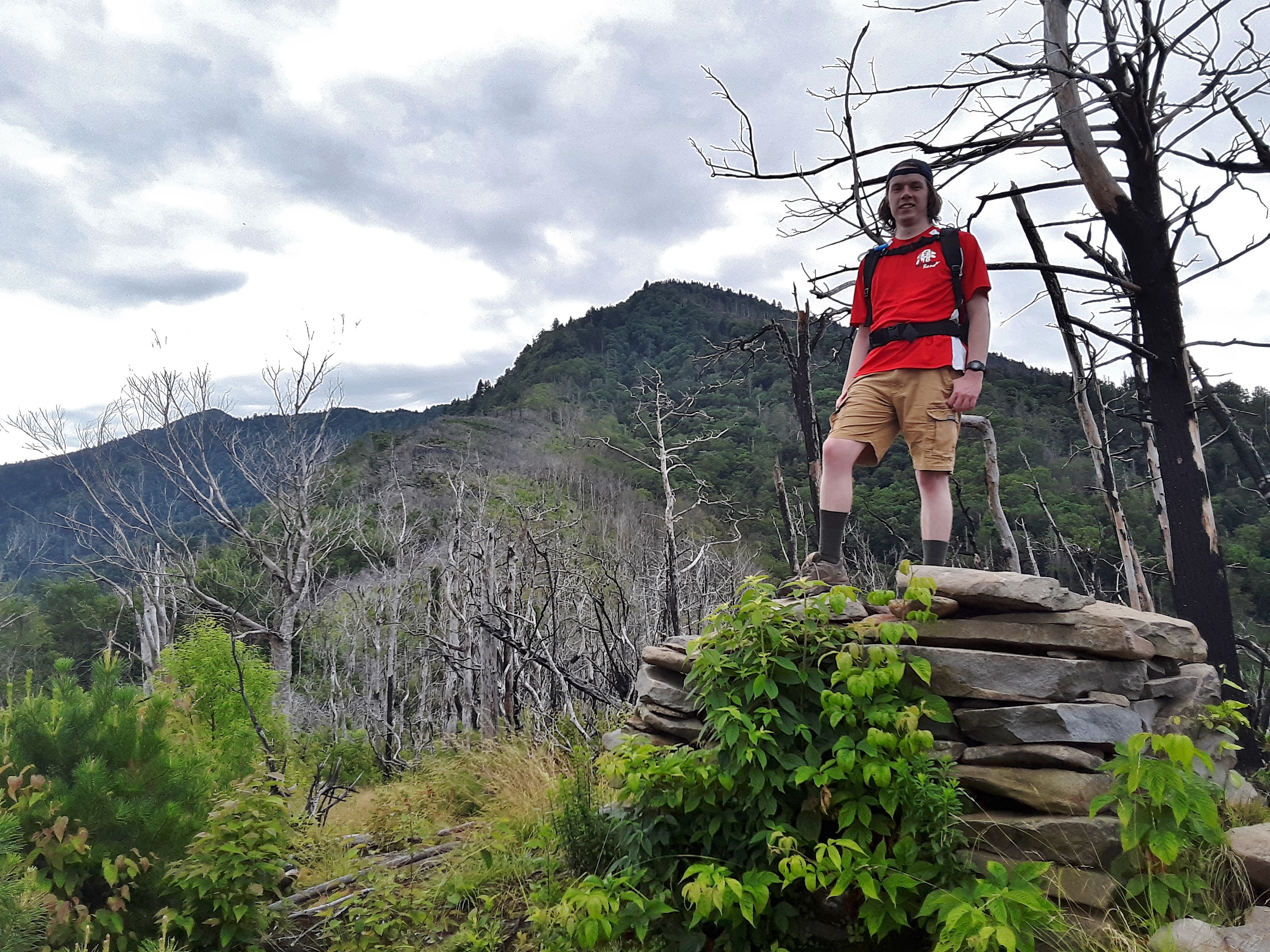
“Bull’s Head Gap” overlook cairn

Panarama of 180+ degrees


*History of logging n the Smokies: https://www.smokiesadventure.com/smokymountains/history/logging_in_the_smokies.htm#:~:text=Before%20the%20boom%20of%20logging%20in%20the%20Smokies%2C,attention%20of%20logging%20companies%20in%20the%20late%201800s.
Quick Away
Posted in Beauty, Blessing, Climbing, Family, General, Hike, Nature, Outdoors, Photo, Relationship, tagged Beauty of Creation, Building Relationships, Climbing, Hiking, Nature, Outdoors, Photos on July 18, 2020| 2 Comments »
I had small amount of business out town early this week, hardly seeming worth the 3 1/2 hours of driving I would have to do to accomplish it. I decided to make more of a trip out of it.
Firstly, I connected up with my present climbing partner for a quick outing to a hidden crag. You have to hike downhill a full mile to get to the creek side cliff. It is always cool and lush at ground level, but the wall dries fairly quickly. My partner led the 5.8 and an overhung 5.9. I followed by leading a 5.10 and we set up a 5.11 on toprope that I climbed clean on first try. As you may have discerned, the real workout is the 1 mile uphill hike after climbing. It is both cardio- and leg power intense. Our conversation reflected our different stages of life and our mutual love of God, truth, and the outdoors.

Setting up for the warm-up, Jigsaw (5.8)

“Belaying Blues”?
Lowering after cleaning the climb
Beautiful, cool setting for climbing
Secondly, I went to visit my middle son. I ordered Mexican to go and we went up to Wilbur Lake to eat at a picnic table at the boat ramp. People were pulling their canoes and Jon boats in and out and families were wading. The water comes off of the bottom of Watauga Lake above at about 40 degrees, bone aching cold. We waded and ate and talked and reminisced. We had left this area when he was just over 3 years old. I asked him if he remembered being here. He described it in an insightful way: “It was more like a snapshot than a video.” That pretty much pictured it. The area is called the Horseshoe because the Watauga River, now Wilbur Lake, has an extreme horseshoe shaped bend. The next picture shoes the late afternoon Sun shining over the central spine of the Horseshoe. If you walk up this spine, at one point you can look back and see both legs of the horseshoe below you. After supper he drove me up the short hill to the house we had lived in for those 7 years, 1986-1993. It was some of the best and worst times for our family. Best because of the closeness and nature and gardens and church and tangible provision of God. Worst because of the hard work and lack of money and difficulty in finding direction. In retrospect, I think the two correlate. Difficulty precipitates more trust in God and more awareness of His blessings. We went back to his house, watched a few Youtube videos, talked about his new job and went to bed early. He was up early and left earlier than he had said to get to another day of his job training. It was good to see his diligence and drive, not that I have ever seen it lacking.
Bone Chilling Wilbur Lake
Horseshoe Homeplace

Son’s new leased house
Thirdly, I met up with my brother and sister-in-law for two hikes, one to see wildflowers and trees at Warrior’s Path State Park and the other to see the same plus several small waterfalls in a little gorge at Laurel Run Park on the north flank of Bays Mountain in Hawkins County. The first hike was short in distance but long in time because on this limestone slope below the campground down to the lake I saw many varieties of trees that I just don’t see in NC. I was pointing them out and how to identify them to my sister-in-law and my brother as he took interest.
Three disparate barks
Though I use leaves as well, I was trained to recognize deciduous trees by their bark, learning them in the Fall mostly after the leaves had fallen off. The above three trees are from left to right, Black (or Wild) Cherry, Chincapin Oak (not common and the bark very nearly resembles White Oak), and Hickory (Mockernut or Shagbark most likely though it is hard to tell at this early stage). Before we left the park we had identified 36 trees species, only one not native.
Butterflies and Mildweeds
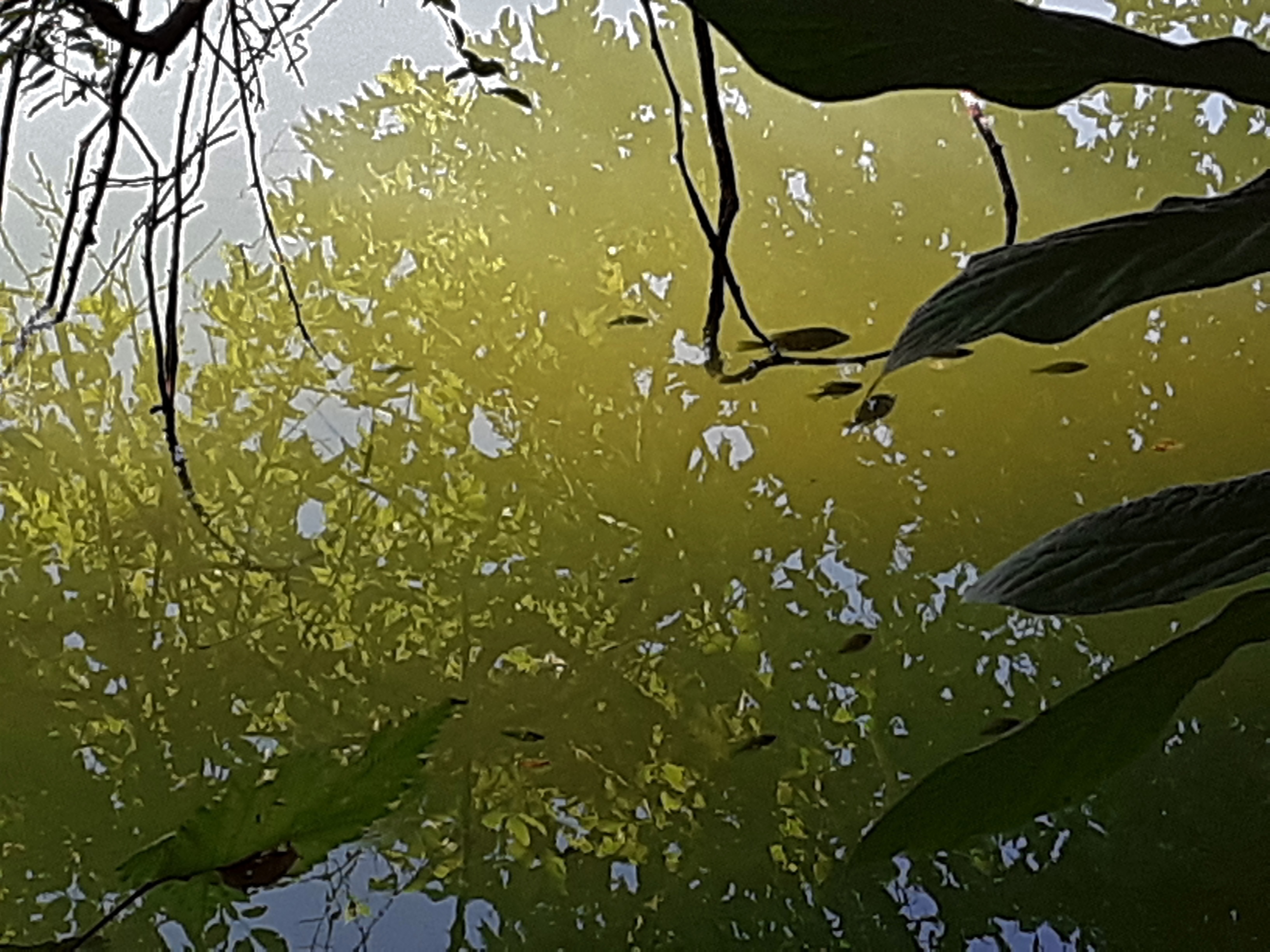
One of those, “Which do you see first” pictures: 1) reflection of the tree 2) fish 3) foreground leaves and twigs.
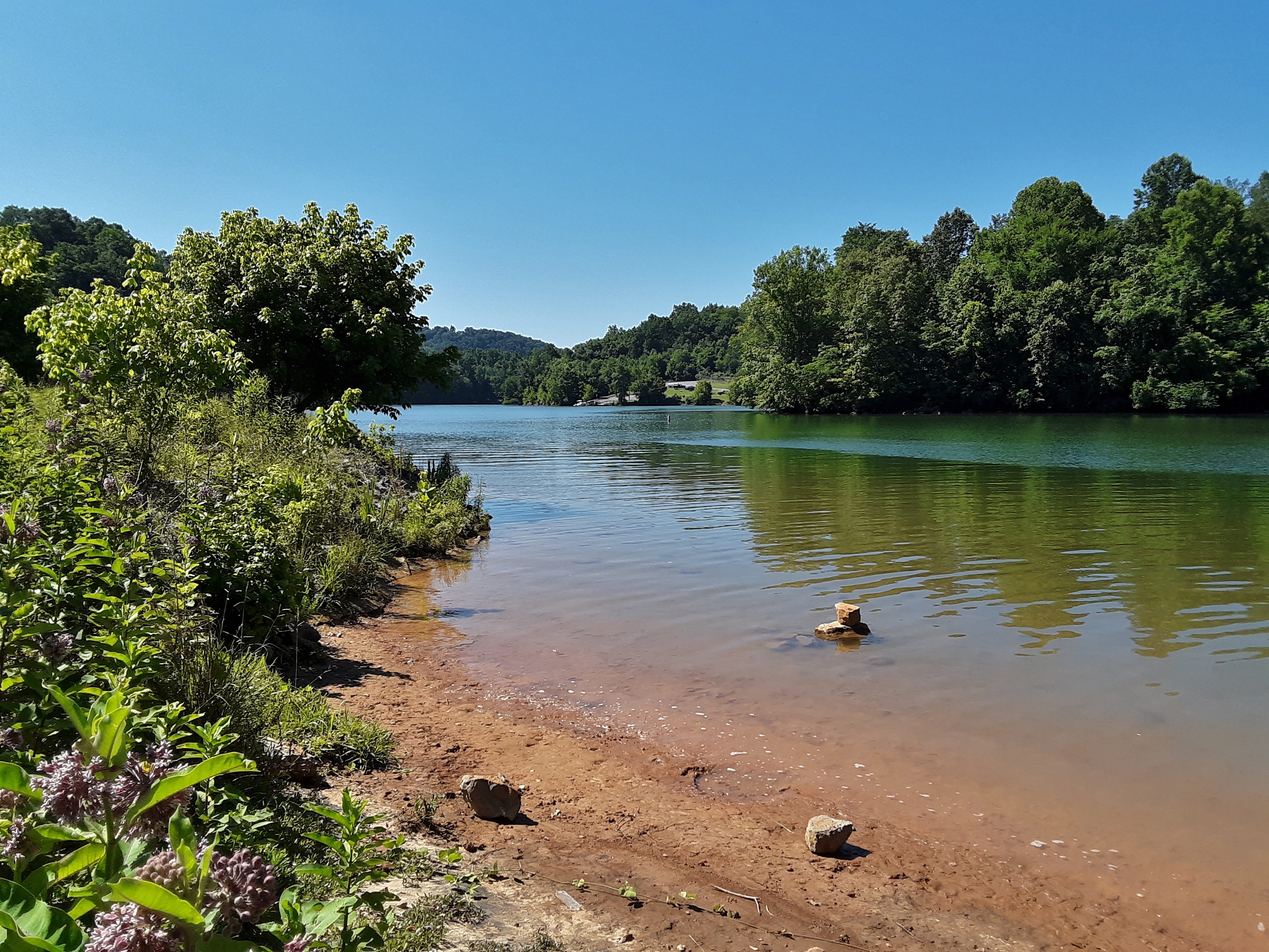
Holston River
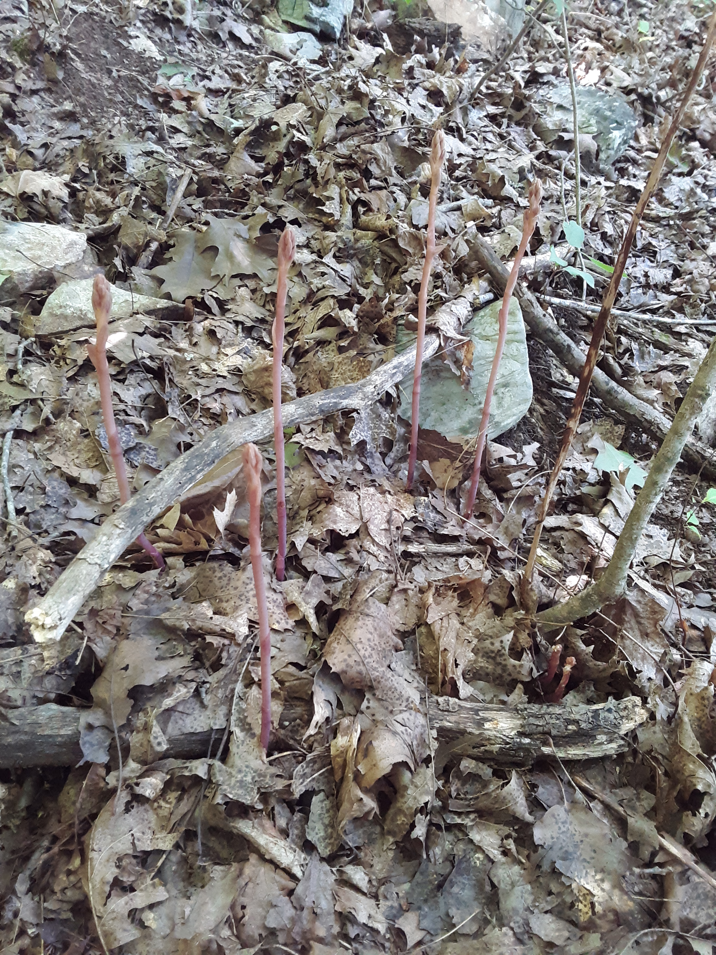
Some uncommon orchid late blooming.
The Laurel Run hike was a bit longer and steeper, but the shade and conversation were good. People had eked out living in these draws where they were left alone and used whatever resources were available. It is a pity that the American Chestnut was not one of the trees we saw. They exist here but are minuscule in size compared to the great trees of the past that supplied so much livestock with food. With the trip between parks and this second hike, my sister-in-law and I identified 52 species of trees with only 3 exotics. We are blessed with a bio-diverse area.
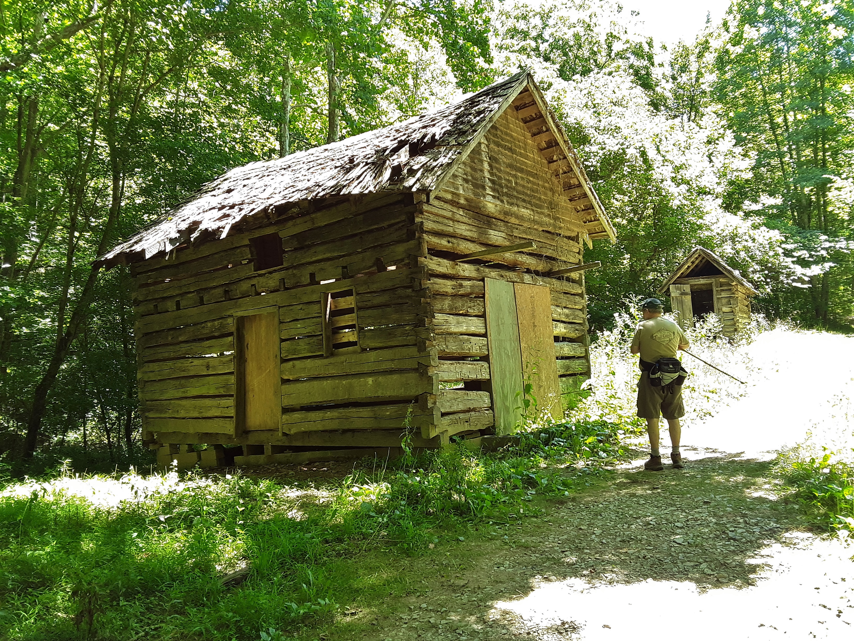
Cultural Residual
Sis and Bro
typical limestone layering and color; I wondered where the cave entrances are.
It seems most every wildflower is 10 days to two weeks late this year. We speculated that the warm March and very cool April may have been the cause.
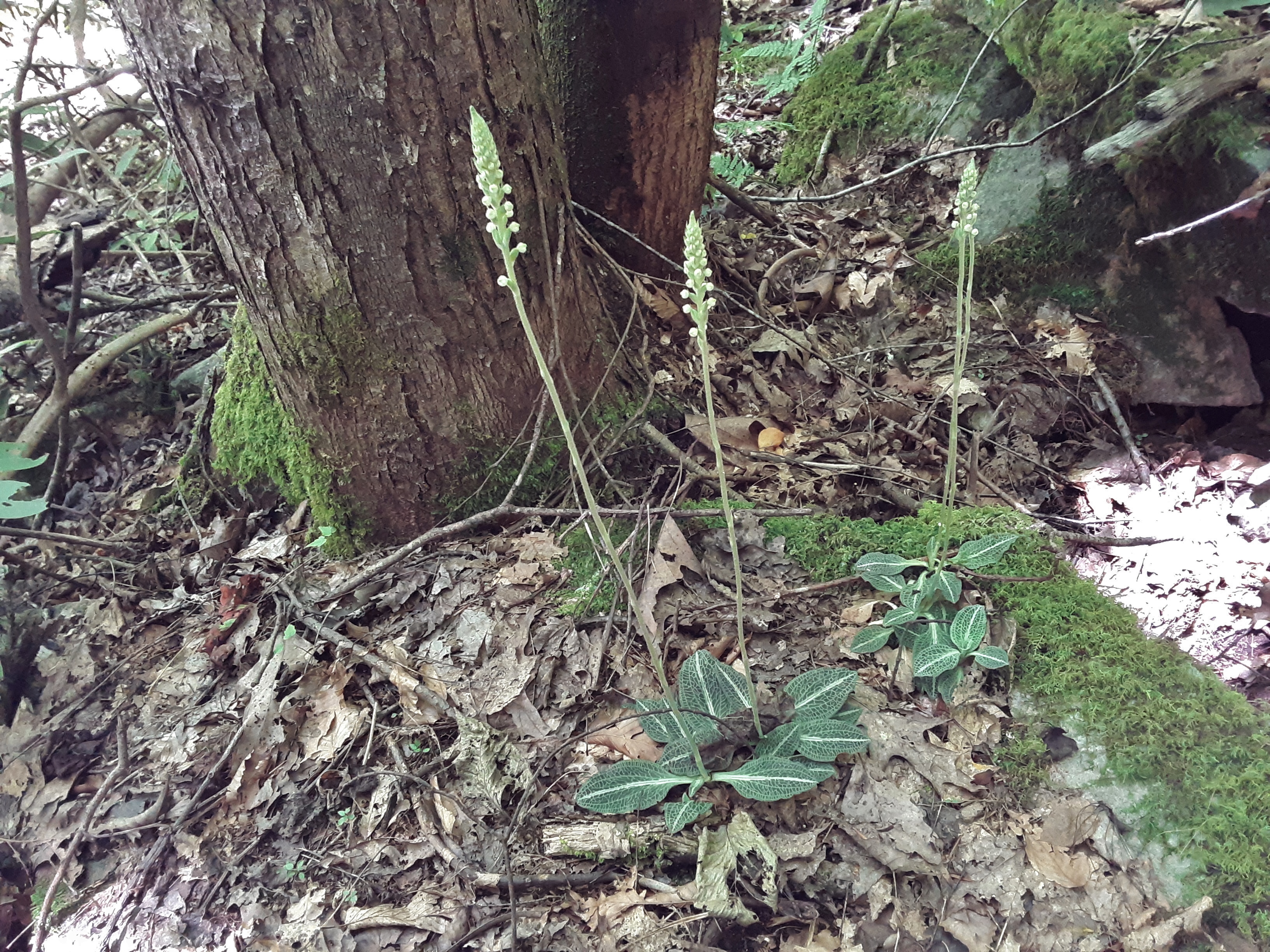
Rattlesnake Plantain not quite ready to bloom.

First waterfall- about 15 feet
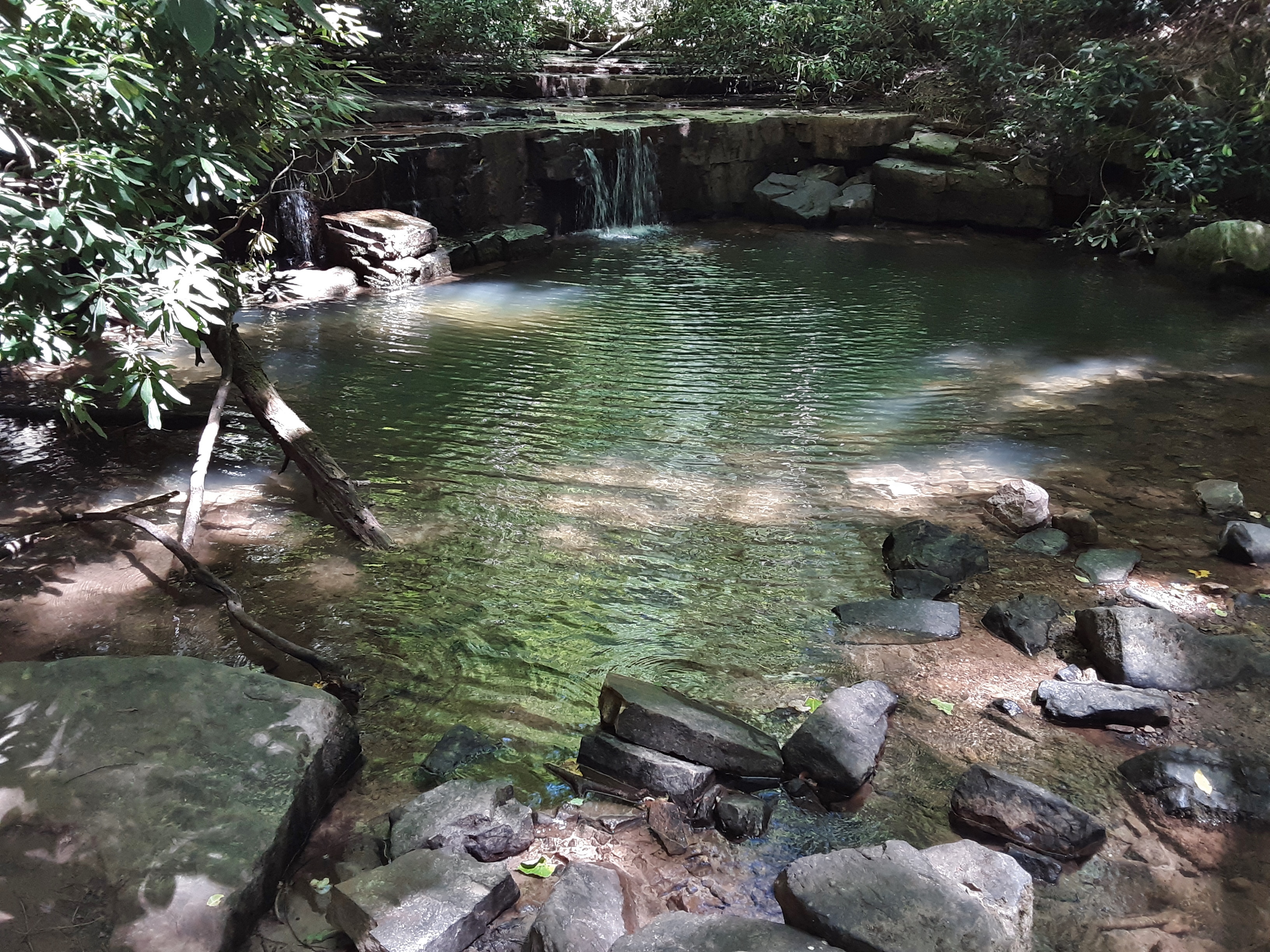
“Waterfall” 2 was about 4 feet but with an inviting pool

Waterfall 3 was about 10 feet. These would be amazing looking after a good rain.
Sandstone overlaying Limestone?
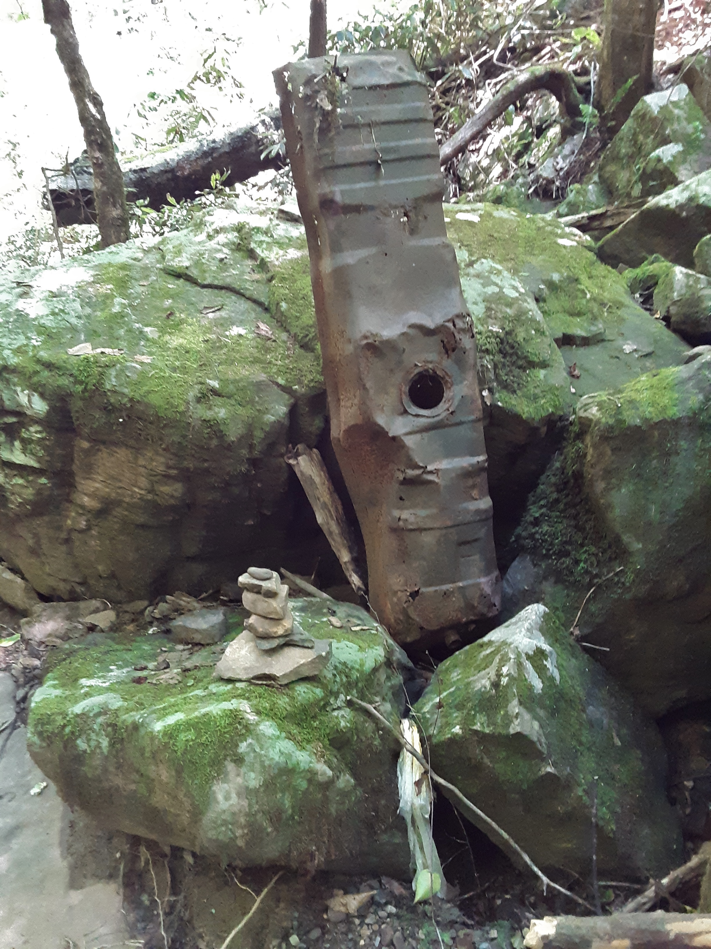
Cultural Art: Tractor oil pan perhaps
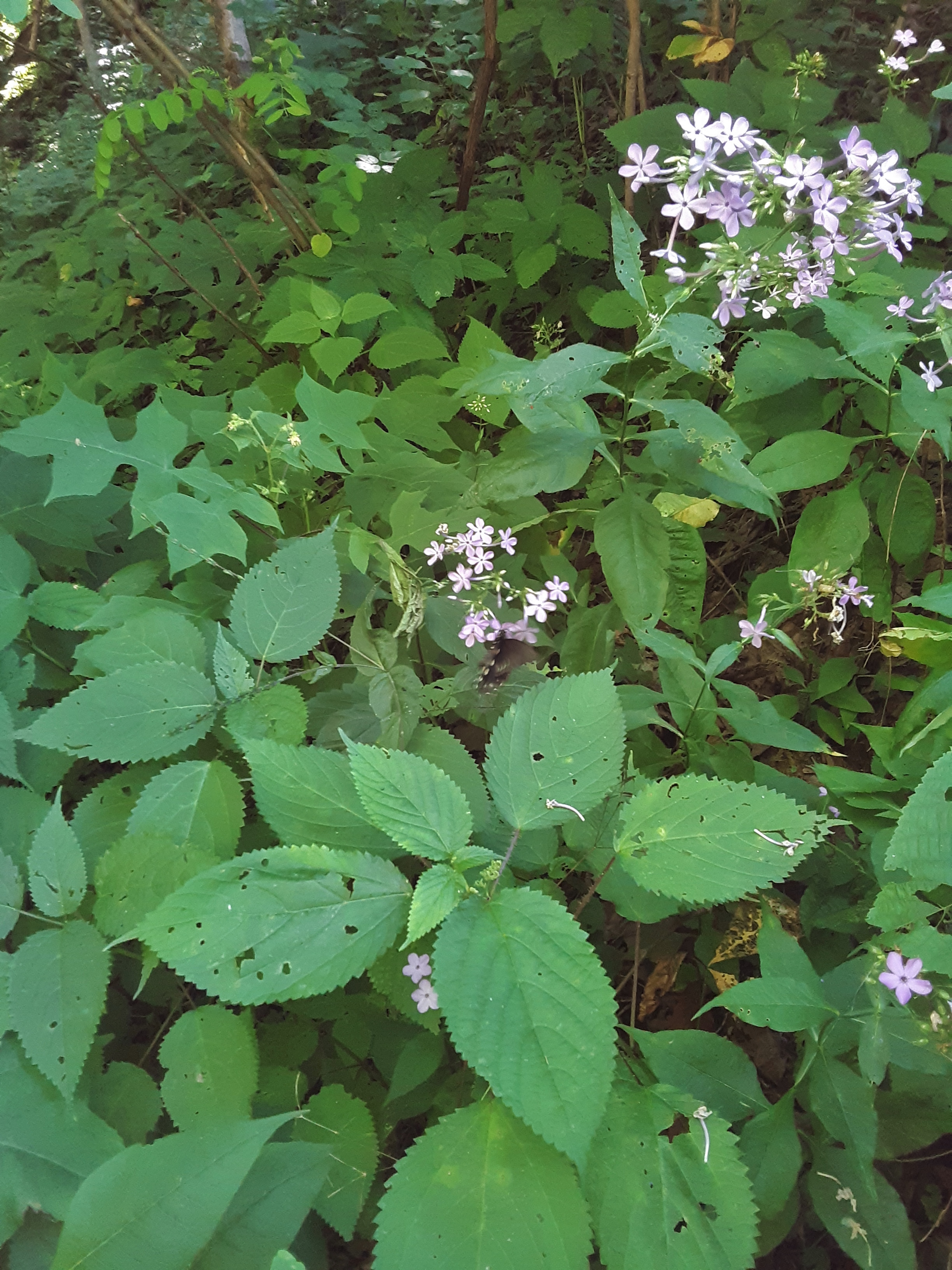
Wild Flocks and Stinging Nettle and a Butterfly that moved too fast for my camera.
I find it amazing how you can fill up a 24 hour period with so much that feeds the mind, emotions, and body. These in turn bring a measure of rest to the spirit, best experienced as you thank and praise the Creator for the beauties before you, the health to enjoy them, and the relationships which are more permanent than either.
Out and About
Posted in Blessing, General, Hike, Nature, Photo, Travel, tagged Hiking, Mountains, Spending time with family, Spring on April 11, 2020| 3 Comments »
In normal times “Out and About” sounds like a pretty lackadaisical pursuit of nothing in particular. But in these days of shutdown and stay at home orders, it sounds edgy and adventuresome. The beautiful days cry out for you to come outdoors. The first few pictures show flowers my wife and I found on our greenway walk.
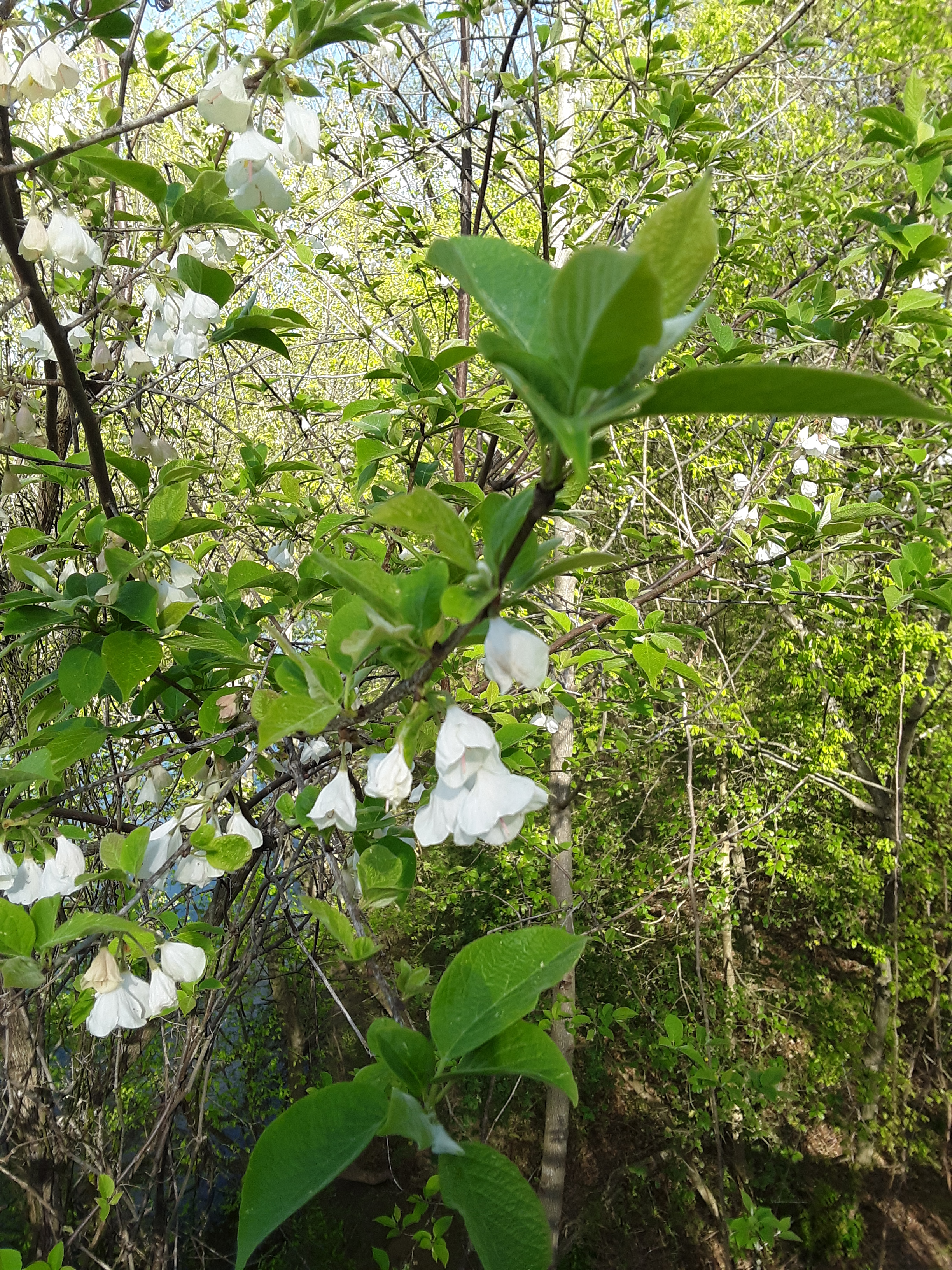
Carolina Silverbell (Halesia carolina)
This species is so very common in Western North Carolina and so unknown where I grew up in East Tennessee. The mountains are quite the barrier for some things. They are also not to be confused with Mountain Silverbell (Halesia monticola) which I mention in a recent blog about hiking on the Tennessee side of the Smoky’s (“A Brief Brush with Winter“).

Common bloom in these parts
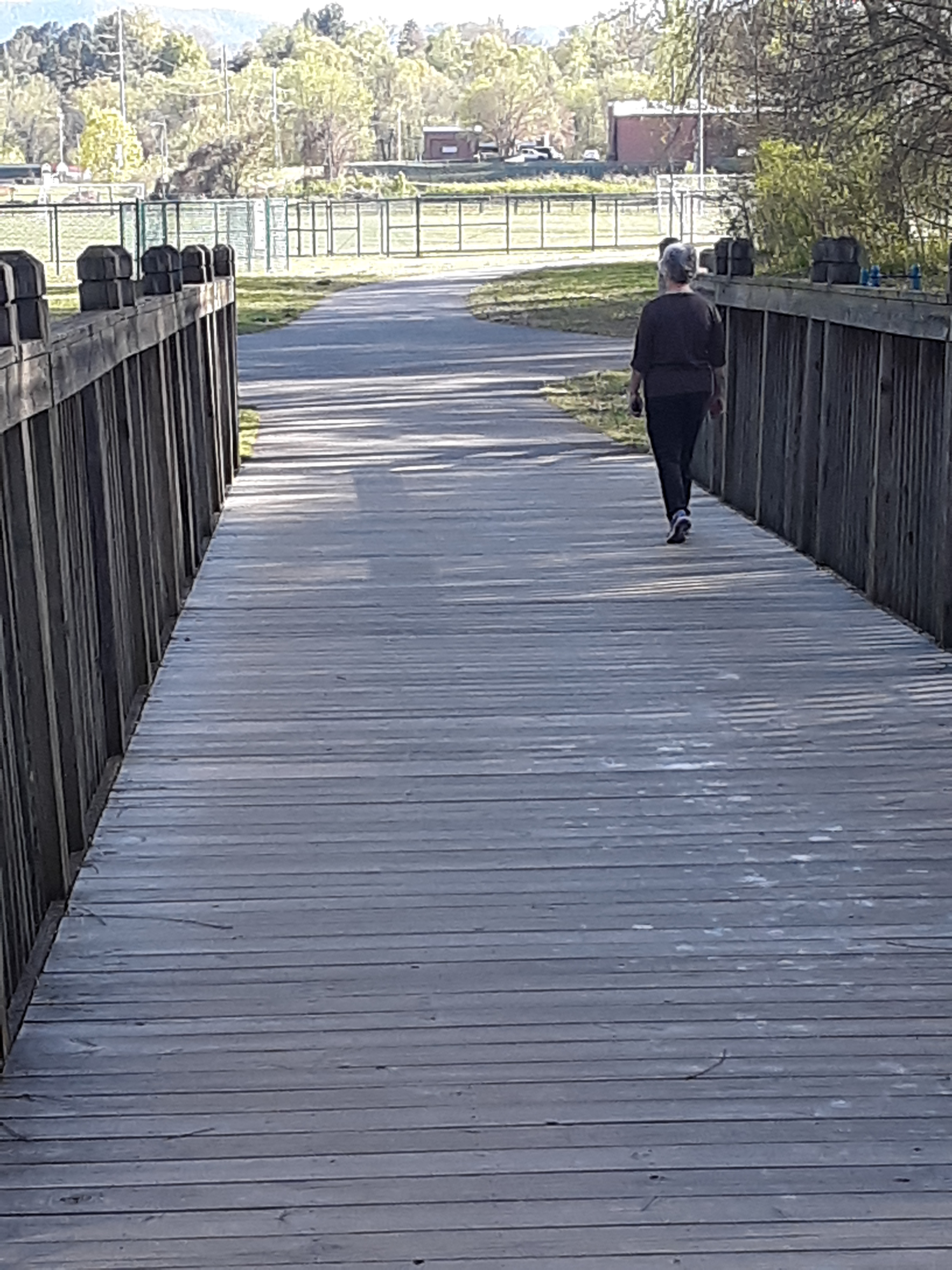
With my wife on the end of the Bridge over the River
I didn’t purposefully play with the focus this way, and in fact, it is one of the main frustrations I have with automatic focus. But the result of framing my wife in the background on the greenway did turn out nice. If I had done it on purpose, I would have framed her in the space just below the small branch that bisects her in the picture. That would have been a very nice shot, which I could have cropped to include a little branch, leaf, and bloom around her on the path.

Unintentional cool effect
My son asked why the lawnmower was parked on the carport. I said that I was trying it out to consider buying it, but then it quit. After a quick wolfing down his lunch, he offered to look at it. He figured out what was wrong in ten minutes. After work he came back and fixed the fuel pump without any need of parts. I have been impressed with how fast he has picked up on “mechanicing” since starting at the local independent Toyota repair shop.

Lunchtime mechanic
Another day I needed to go across the mountain to pick up whole food supplements. I took a quick stop to hike a short section of the AT. I saw no one and was informed afterward by a neighbor that it was closed down. This is getting ridiculous. Largely Yellow Poplar stands are not common in WNC, but they are in ETN. I believe the difference is soil and rainfall. There is a slight rain shadow effect from the mountains so that the average yearly rainfall is typically about 10 more inches per year in ETN.
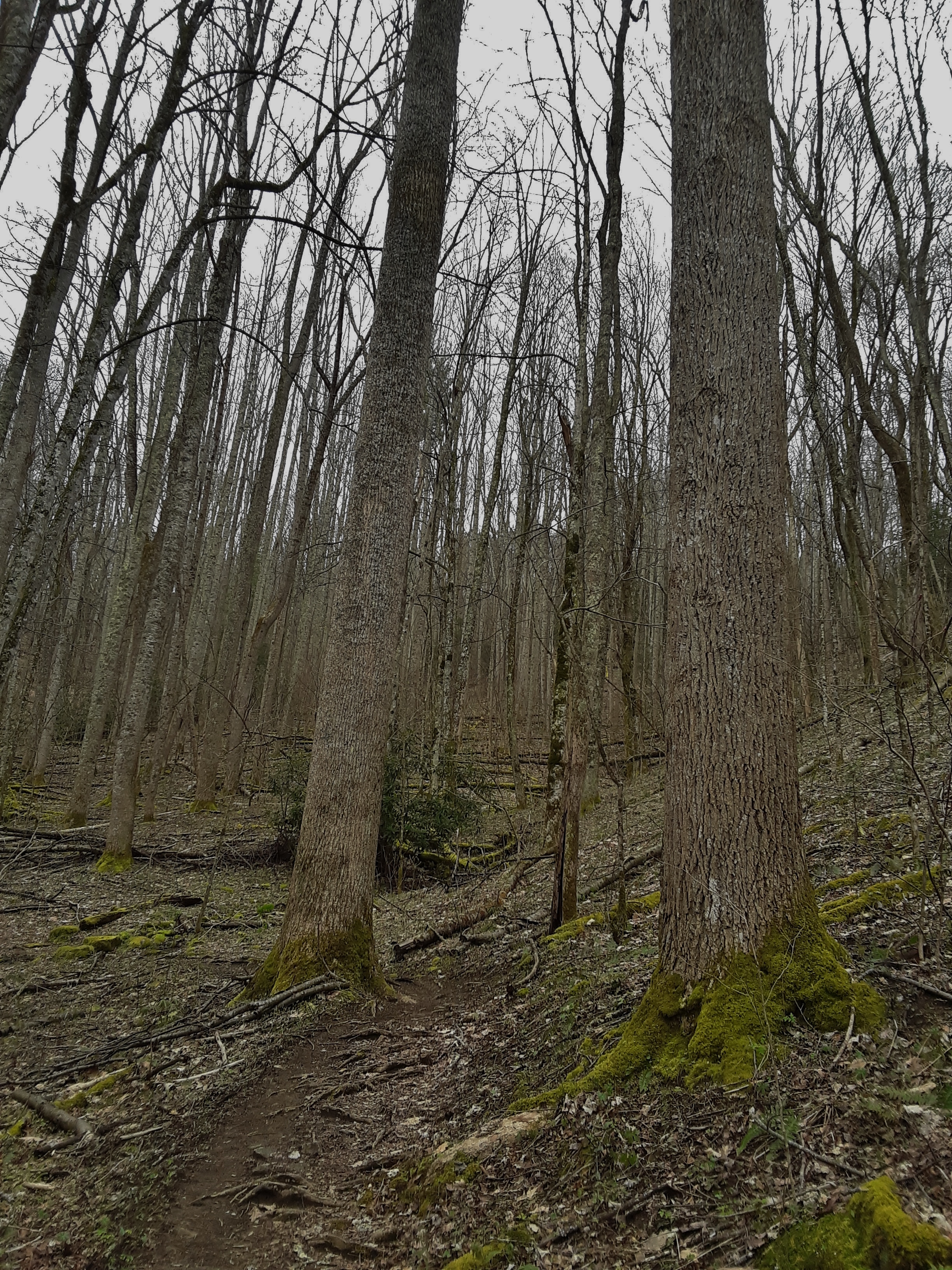
Yellow Poplar stand in E TN
Yet another day I needed to feed the fish and water the plants in my classroom. Since we are told to not come to the school, if at all possible, I had to take my temperature upon entering. I brought the plants home and a secretary said she would feed the fish. This room has been my classroom for 11 of 13 years at this school. It feels a little like home away from home.

My forlorn classroom
Exceptionally pleasant temperatures and blue skies have been the rule of late. I hope we neither have drought nor crazy storms at the end of it. I have been making actual but slow progress in my running lately. When you are coming back from sickness and injury it is hard to tell how much is attributable to your present physical condition and how much to excuse by being old. I am trying to make no excuses and have no high expectations. I am thankful that I can make any come back.

At the end of my run
Today my youngest son called and asked if I would like to go for a hike. I had responsibilities at the beginning of the day, so we opted for a short jaunt in the woods. I honestly do not understand the mentality of closing trails. It further crowds the one not closed. Is that what someone wants so that there is an opportunity to close all trails and control people? It is beginning to feel that way. Why not rather let people make their own decisions about such things, warning them of the consequences, informing them about best practices, and limiting only the most obvious dangers. That is the way of freedom. Our founding fathers understood that we should trust the populace over the ruling class. We have reversed that and we will one day regret it. Thankfully on this day, the trail we had chosen was not shut down. We came in from a less traveled route and avoided all the more passes on the trail. I did not meet one person of the two dozen or so that did not make and succeed at social distancing.
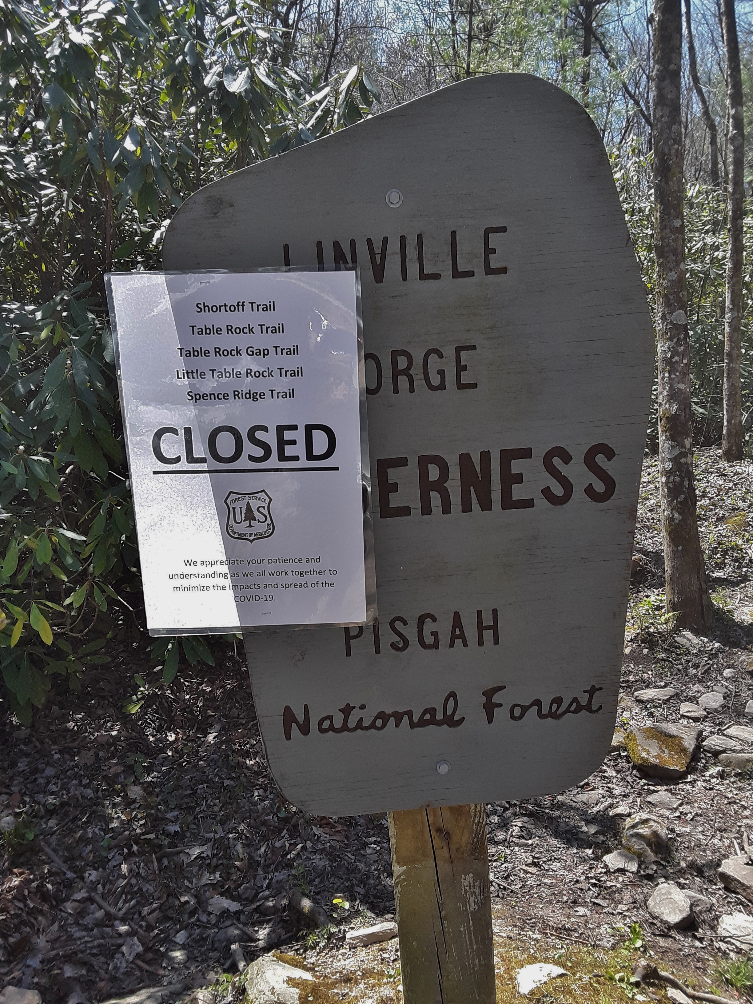
Ominous sign
The view just off one overlook we lounged on was curious to me. In the valley, Spring has sprung. Here is has only just begun. Notice the unshod trees on the slope behind. The foreground tree (birch perhaps) is just beginning to open blooms. And just beyond is a fir tree. There were a dozen or so surrounding the base of this crag. They were odd because they don’t usually occur at such low elevation (no more than 3000′ at best) and they are totally healthy when almost all others are infected or dead from aphid. I mused to my son that here was an isolated, small stand of Balsam Fir on a north slope under a shading crag where there was plenty of moisture (protection from wind, I might add) and distance from other infected trees. Long may they prosper.

Spring barely begun
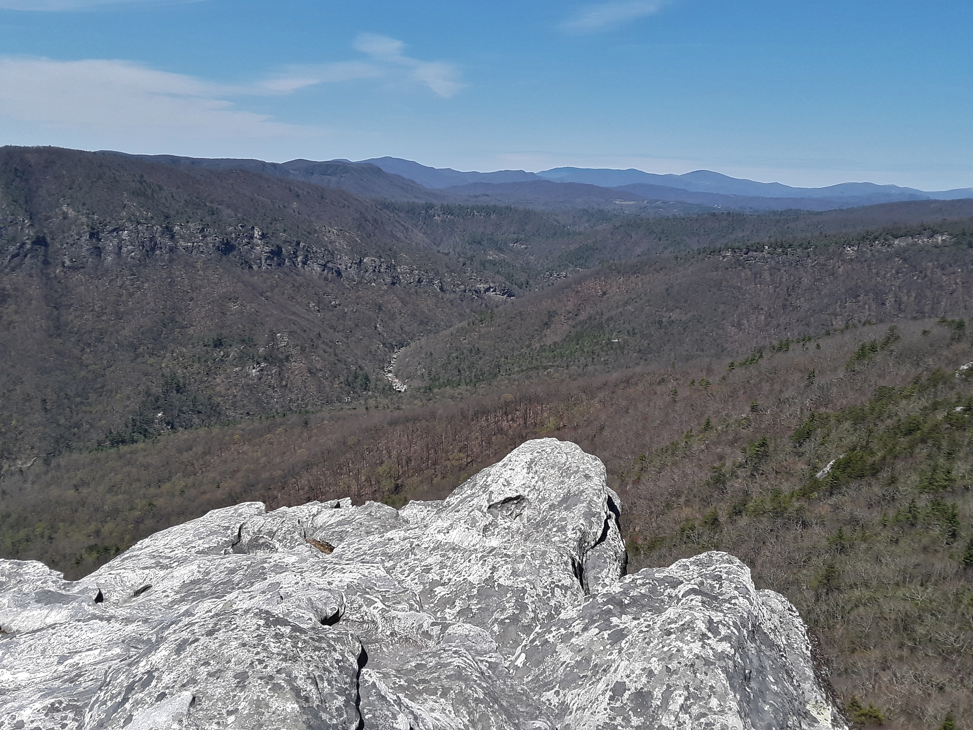
Look directly across from my nose, about 7/8 across the picture, to just past the slope down into the gorge and above the main body of cliffs. You can just see Babel Tower, a very worthwhile hike and view (Check out “Reminiscing Romp”.)
Most pleasant day to be out
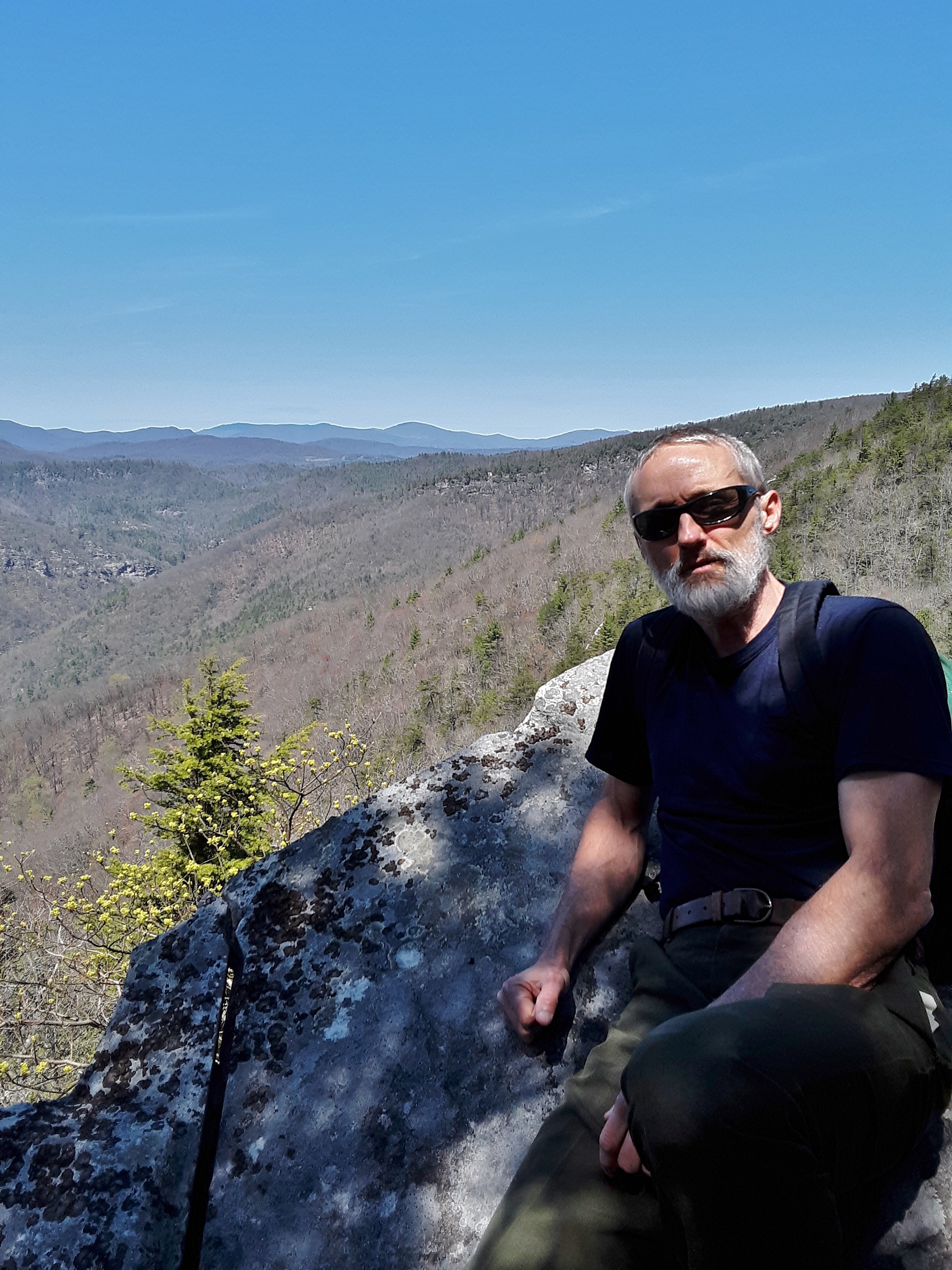
The climbing area at Hawksbill is a little intimidating upon approach. There is some good climbing here and some hard climbing. I hope to be climbing here again one day soon.

Middle Hawksbill

a mini-ecosystem
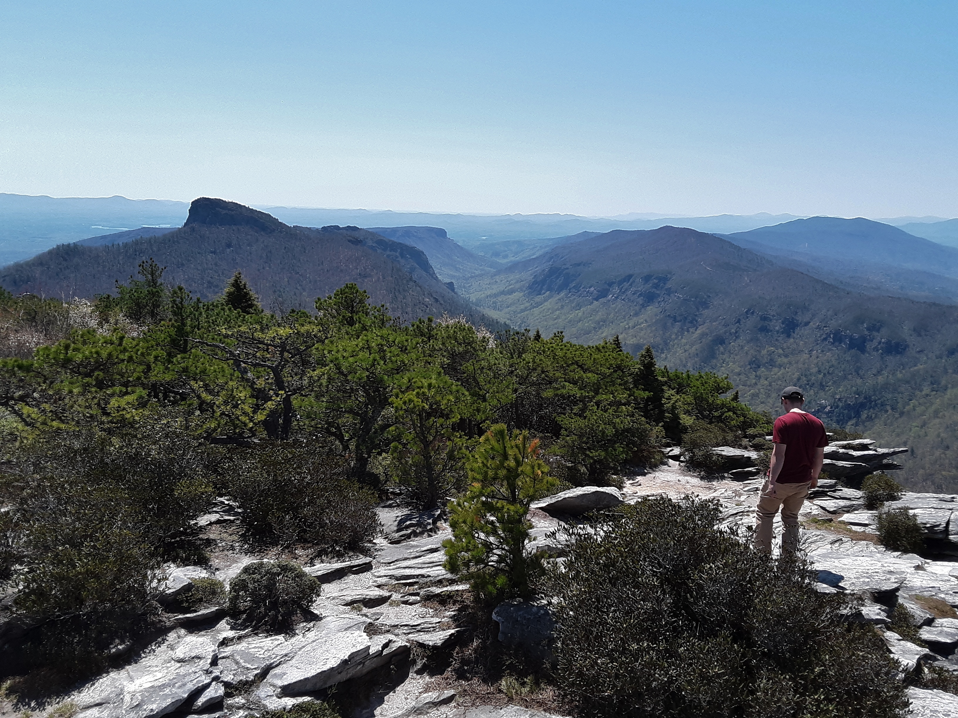
The Gorge laid out before us

view over to Wiseman’s View
Roan Mtn and Hump Mtn
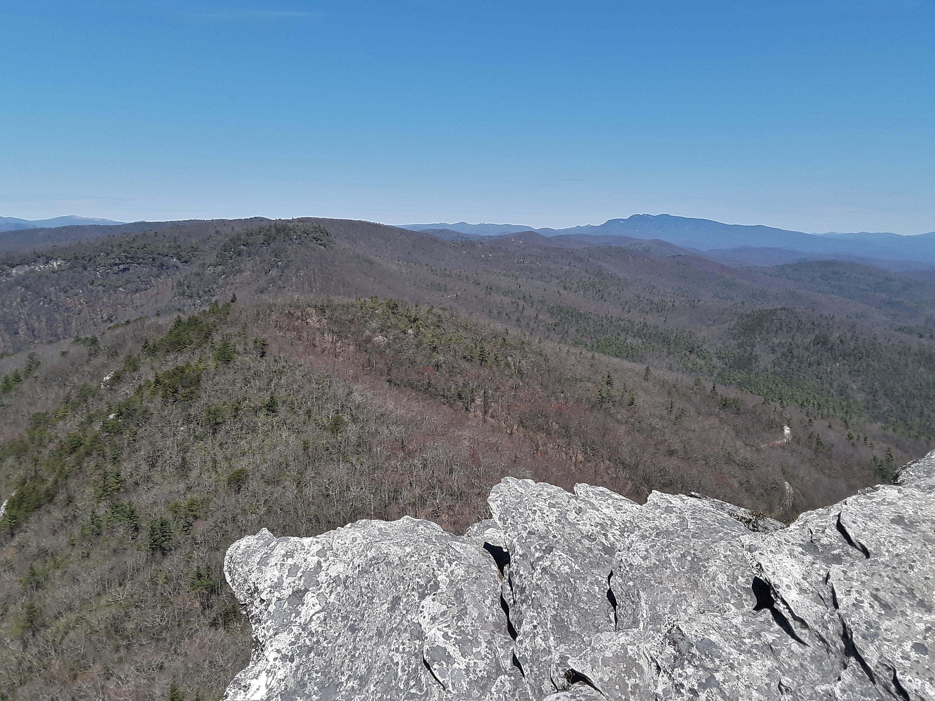
Gingercake and Grandfather

Enjoyable time with my son

From Hawksbill across Wiseman’s View into North Cove with the Black Mtns (Mt. Mitchell) beyond
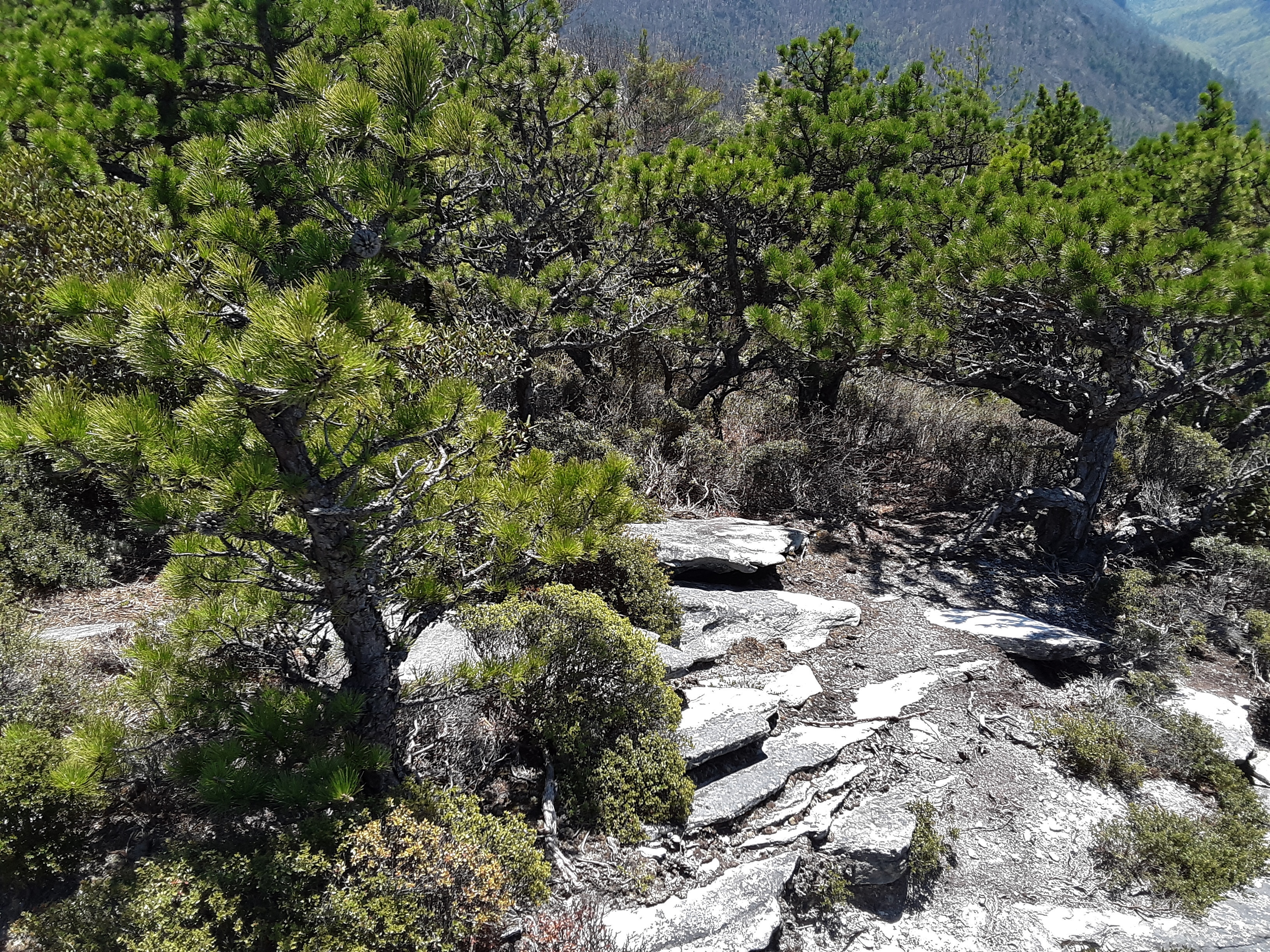
Pitch Pine rather than Table Mtn Pine
I was reading another blog earlier today that suggested that spiritual life is better than physical life. The point was being made to focus on the more important one. I took the point, but took exception with the implied undercurrents. Our lives are not divided. All things have spiritual ramifications, including giving too much attention to your temporal life. But our physical life is not evil in and of itself as the Gnostics were apt to say. Instead, “Whether, then, you eat or drink or whatever you do, do all to the glory of God.” (I Corinthians 10:31) Enjoy God’s good gift of a good day but don’t live for it. Acknowledge His work in your life and live for Him, rather than take credit for it or sweat your way through making your own way. He is both pleased and you benefit from the mundane and extraordinary lived out for Him.
Hark Back Packing
Posted in Backpacking, Family, General, Hike, Nature, Outdoors, Photo, Reminiscence, tagged Backpacking, Family, Great Smoky Mountains, Hiking, Nature, Outdoors, Photos, Reminiscing on July 23, 2019| 1 Comment »
My daughter was reminiscing about a backpacking trip we took when she was 20 years old. As I pointed out to her, I have always been bad with ‘when’s’ and am slipping with regards to ‘what’s’. So, she reminded me that it was in August of 2008 and that I had blogged about it (see “Casting Cares”). That former blog entry was more about a few impressions of the trip than a diary thereof. At her request I am posting more pictures. I can’t resist a little commentary, but I will keep it to a minimum. Check out the map of the route at the end.
You can’t hide forever


I like lichen for the patterns and color variety.

Beech Gap Trail


Mutual Support


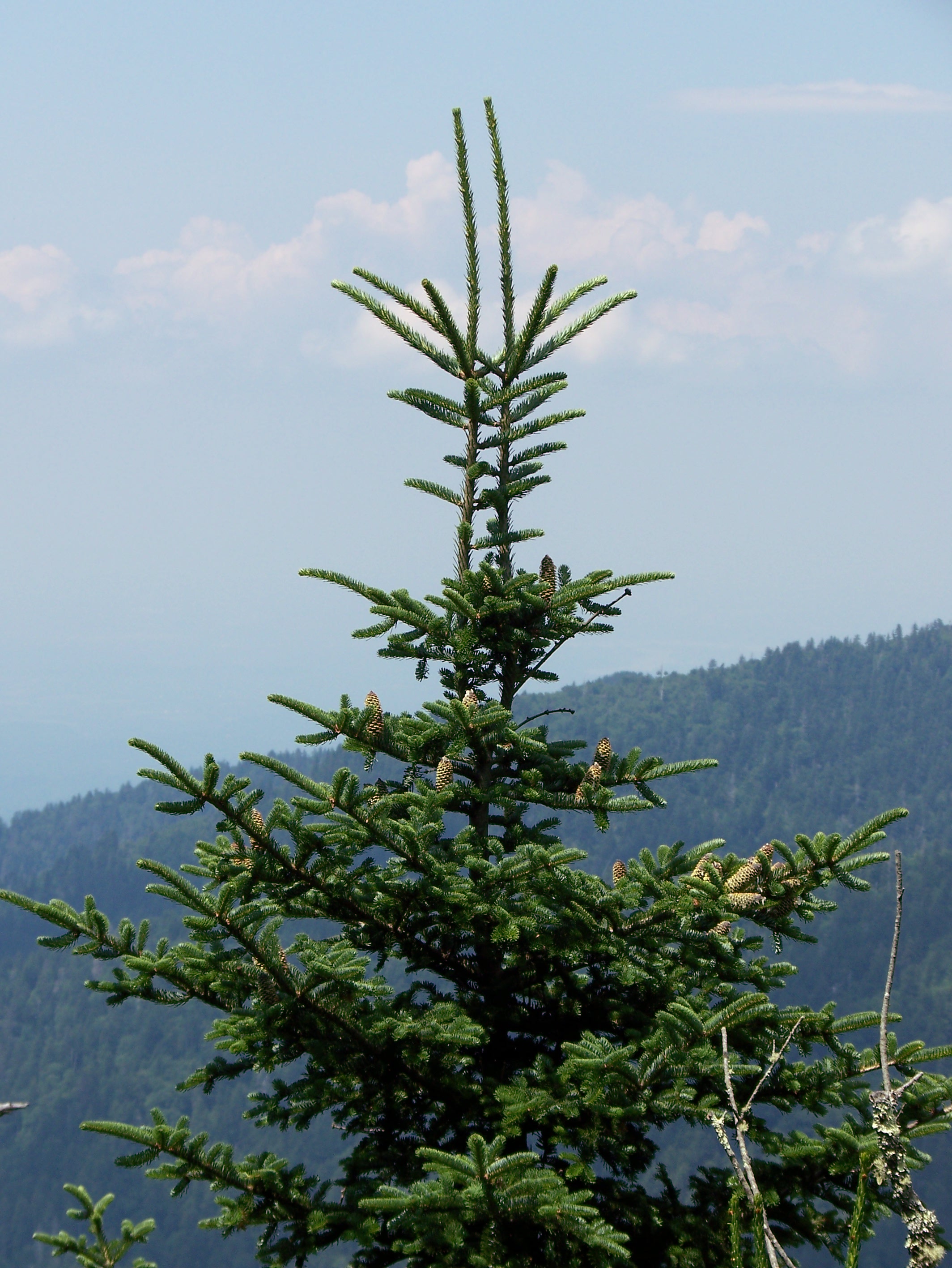
Fir Cones


You can just resolve the fire tower on top of Mt. Sterling.


Water Filter Blues

New Style Shelter

Old style blogging (trail journal)


“Why do we do these things? I will tell you…Tradition.” Based on the elevation and approximate sequence of pictures, the location is near Eagle Cliffs (elevation 5781 ft.).

Remembering former days on the trail


A goodly sized Red Spruce


The Happy, Rested Crew

Bee Balm or Oswego Tea?
Hog Wallow (Russian Bore, that is)

Tired turns to fatigue


I don’t even know.


The Cucumber Magnolia seed pod begged to be photographed.
Occasional Surprises in the GSMNP


When it is sharp or slick or both, you have to watch you feet.


Watching the wading crew


Spores Galore


Cool looking mushroom; frustration of automatic focus camera

Trip began and ended at Round Bottom, hiking counter-clockwise. The first night we stayed at Laurel Gap Shelter. The second night we stayed at Pecks Corner Shelter.
